


Mr. Philip D. Burden
P.O. Box 863,
Chalfont St. Giles, Bucks HP6 9HD,
UNITED KINGDOM
Tel: +44 (0) 1494 76 33 13
Email: enquiries@caburden.com
626 rare maps matched your search criteria.
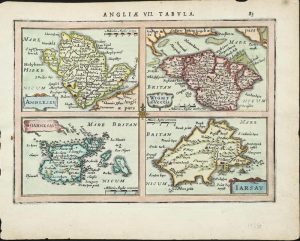
Amsterdam, 1616
FIRST EDITION. 105 x 140 mm., in good condition.
Stock number: 11771
£ 125
Vienne, 1522-[41]
295 x 410 mm., with worm tracks in the margins repaired, one further at centrefold repaired, otherwise in good condition.
Stock number: 11736
£ 1,950
Venice, 1548
125 x 175 mm., with minor loss of margin edge top and bottom centrefold, otherwise in good condition.
Stock number: 11740
£ 495
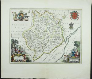
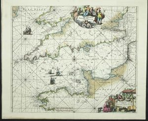
Amsterdam, 1645
FIRST EDITION. 410 x 530 mm., early wash colour, with Latin text on the verso, in good condition.
Stock number: 11780
£ 2,250
Amsterdam, 1645-[62]
385 x 505 mm., in early outline colour with wash to the cartouche, with good margins, with Latin text, in very good condition.
Stock number: 11782
£ 350
Venice, 1706
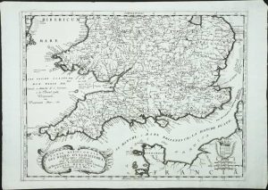
460 x 615 mm., very minor loss to extreme upper right corner, otherwise in good condition.
Stock number: 11803
£ 195
London, 1673
320 x 250 mm., in good condition.
Stock number: 11814
£ 125
Amsterdam, 1628-[c.1710]
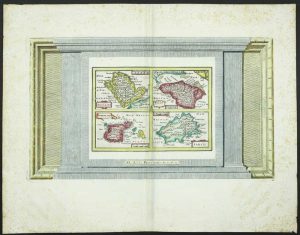
235 x 400 mm. the whole, with recent wash colour, a separate map plate measuring 145 x 200 mm. printed within decorative border, with some foxing to the margins, otherwise in good condition.
Stock number: 11487
£ 175
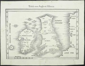
Henri Petri, Basle, 1574-[1618]
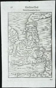
255 x 170 mm., in good condition.
Stock number: 11745
£ 175
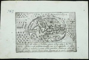
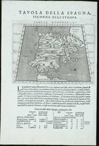
Michel Sonnius, Paris, 1575
185 x 290 mm., in good condition.
Stock number: 11751
£ 375
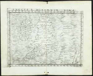
Sebastian Petri, Basel, 1588-[92]
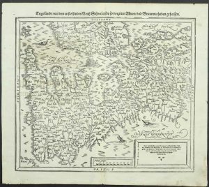
325 x 360 mm., light wrinkle along centrefold, otherwise in good condition.
Stock number: 11756
£ 295
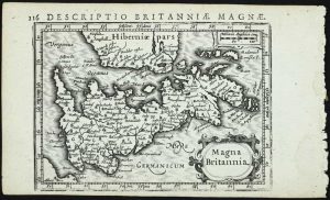
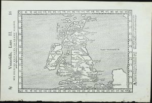
Venice, 1597
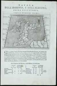
135 x 170 mm., printed on a leaf of text, light paper imperfection in the text below, otherwise in good condition.
Stock number: 11760
£ 95
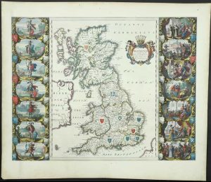
Performed by Iohn Speed, and ar to besolde in Popes head alley by George Humble, London, 1627
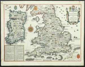
380 x 510 mm., later outline and wash colour, in good condition.
Stock number: 11763
£ 2,250
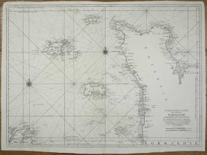
Amsterdam, 1645-[63]
380 x 500 mm., in early outline colour with French text to the verso and large margins, a couple of minor tears to right edge repaired, otherwise in good condition.
Stock number: 11781
£ 275
Amsterdam, 1675-[1745]
485 x 570 mm., in early wash colour, with centrefold split repaired as is one in the lower margin 4 cms. into the image, otherwise in good condition.
Stock number: 11789
£ 650
London, 1750
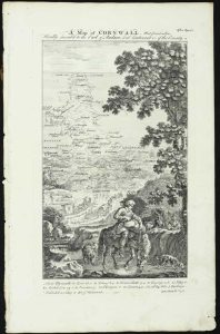
250 x 140 mm., very slight weakness to extreme lower right corner not affecting the image, otherwise in good condition. Complete with the three accompany leaves of text.
Stock number: 11791
£ 550
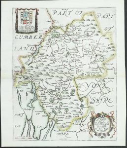
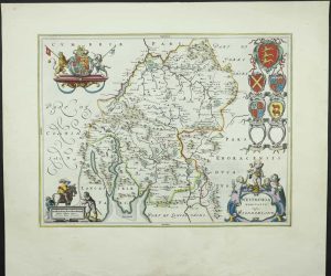
Amsterdam, 1681
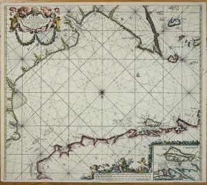
505 x 570 mm., in fine recent outline and wash colour, in very good condition.
Stock number: 11395
£ 750
Paris, 1693-[1753]
595 x 815 mm., dark impression on thick paper, margins trimmed with repairs to upper edges, otherwise in good condition.
Stock number: 11443
£ 450
Amsterdam, 1628-[34]
145 x 200 mm., with recent wash colour, in good condition.
Stock number: 11350
£ 135