


Mr. Philip D. Burden
P.O. Box 863,
Chalfont St. Giles, Bucks HP6 9HD,
UNITED KINGDOM
Tel: +44 (0) 1494 76 33 13
Email: enquiries@caburden.com
37 rare maps matched your search criteria.
Amsterdam, c.1704
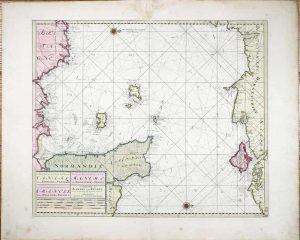
520 x 620 mm., early wash colour, wide margins on thick paper, light paper folds at centrefold, otherwise in good condition.
Stock number: 11484
£ 650
Augsburg, c.1740
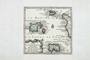
160 x 165 mm., early outline colour, with margins added, otherwise in good condition.
Stock number: 11498
£ 75
London, 1701
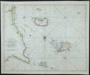
455 x 570 mm., in recent outline and wash colour, light surface marks upper left, otherwise in good condition.
Stock number: 11470
£ 395
Amsterdam, 1628-[c.1710]
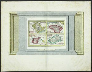
235 x 400 mm. the whole, with recent wash colour, a separate map plate measuring 145 x 200 mm. printed within decorative border, with some foxing to the margins, otherwise in good condition.
Stock number: 11487
£ 175
Amsterdam, 1628-[34]
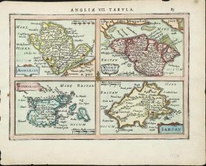
145 x 200 mm., with recent wash colour, in good condition.
Stock number: 11350
£ 135
Amsterdam, 1628-[34]
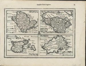
145 x 200 mm., light waterstain in right margin, otherwise in good condition.
Stock number: 11351
£ 125
Amsterdam, 1630-[1738]
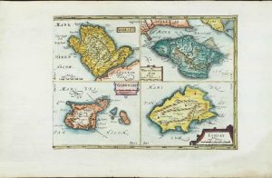
190 x 260 mm., recent wash colour, with wide margins, in good condition.
Stock number: 11354
£ 150
1641
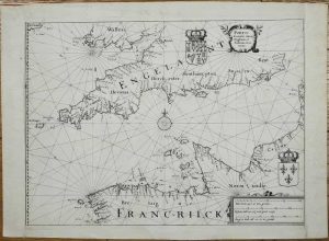
270 x 360 mm., dark impression, with extended side margins, otherwise in good condition.
Stock number: 11356
£ 275
Amsterdam, 1672
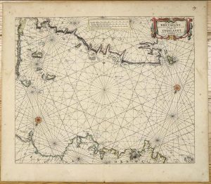
425 x 515 mm., early outline colour on good thick paper, light even toning, two minor paper creases, otherwise in good condition.
Stock number: 11376
£ 950
London, 1673
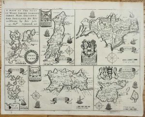
275 x 370 mm., with folds as issued, lower right fold split repaired, lower left inkmark, small paper hole upper left margin, otherwise in good condition.
Stock number: 11388
£ 275
Amsterdam, 1681
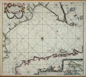
505 x 570 mm., in fine recent outline and wash colour, in very good condition.
Stock number: 11395
£ 750
Paris, 1693-[1753]
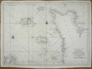
595 x 815 mm., dark impression on thick paper, margins trimmed with repairs to upper edges, otherwise in good condition.
Stock number: 11443
£ 450
Amsterdam, 1607-[08]
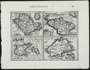
135 x 170 mm., a nice dark impression, in good condition.
Stock number: 11337
£ 135
T. Cotes, for Michael Sparke and Samuel Cartwright, London, 1637
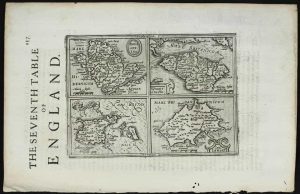
135 x 170 mm., English text on the verso, in good condition.
Stock number: 11339
£ 110
John Sudbury and George Humble, London, 1610-[27]
![Holy Iland [on sheet with] Garnsey [and] Farne [and] Iarsey](https://www.caburdenraremaps.com/wp-content/uploads/2026/02/11341-300x234.jpg)
THE FIRST REASONABLY ACCURATE MAP OF JERSEY. 385 x 510 mm., with recent outline and wash colour, in good condition.
Stock number: 11341
£ 495
London, 1627-[46]
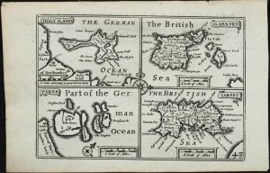
85 x 120 mm., in good condition.
Stock number: 11348
£ 125
Paris, 1757-[c.72]
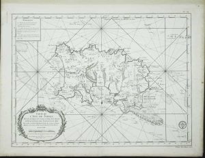
440 x 575 mm., on thick paper, light foxing at extremities, otherwise in good condition.
Stock number: 11522
£ 750
Laurie & Whittle, 53, Fleet Street, London, 1779-[96]
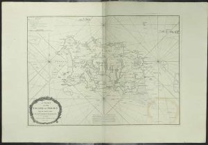
500 x 695 mm., two minor tears lower margin repaired, light offset of title cartouche, evenly toned, otherwise in good condition.
Stock number: 11604
£ 1,500
Amsterdam, 1645-[46]
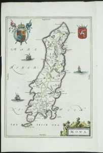
380 x 240 mm., early outline colour, good condition.
Stock number: 3497
£ 350
Vienna, 1790
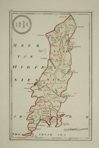
215 x 340 mm., with early outline colour, in good condition.
Stock number: 9759
£ 125