


Mr. Philip D. Burden
P.O. Box 863,
Chalfont St. Giles, Bucks HP6 9HD,
UNITED KINGDOM
Tel: +44 (0) 1494 76 33 13
Email: enquiries@caburden.com
16 rare maps matched your search criteria.
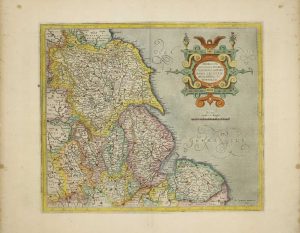
Amsterdam, 1645-[46]
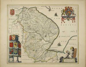
430 x 500 mm., in early outline colour, in very good condition.
Stock number: 10428
£ 350
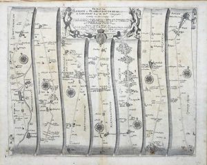
London, 1676
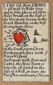
INCREDIBLY RARE FIRST STATE. 55 x 90 mm., extreme upper left corner chipped, otherwise in good condition.
Stock number: 9094
£ 1,500
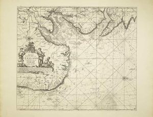
Amsterdam, 1645-[62]
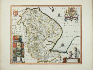
430 x 500 mm., in SUPERB early outline colour with extensive additional gilt and silver decoration and blue wash to the sea, in very good condition.
Stock number: 8862
£ 1,250
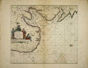
Amsterdam, 1645-[62]
440 x 550 mm., in SUPERB early outline colour with extensive additional gilt and silver decoration and blue wash to the sea, with very large margins, reinforced lower right, otherwise in good condition.
Stock number: 8864
£ 550
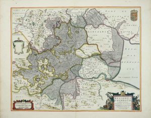
Amsterdam, 1688-[1704]
510 x 580 mm., attractive outline and wash colour, thick paper example although backed at a later date, very large margins some light wear to very edge, otherwise in good condition.
Stock number: 8769
£ 250
Amsterdam, 1688-[c.1706]
510 x 580 mm., printed on thick paper and in good condition.
Stock number: 8770
£ 775
R. Morden and W. Berry at the Atlas in Cornhill and at the Globe between Charing-Cross and White-Hall, London, c.1675-[88]
200 x 175 mm., early outline colour, with extended margin to the right side, two minor centrefold splits either side, otherwise in good condition.
Stock number: 8772
£ 650
London, c.1672
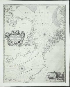
AN UNRECORDED AND APPARENTLY UNIQUE EXAMPLE. 435 x 550 mm., a tear runs between Flanders and France, there are two others above, two more smaller tears are along the lower margin, and one on the left side. Similarly, a small thumbnail sized area has been filled in lower left of the title where there has been some loss at the fold. All tears have been professionally restored and the whole has been re-margined, not backed, and some of the engraved neatline is lacking on the right, otherwise in good condition.
Stock number: 8773
£ 2,950
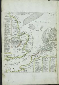
London, 1620-[72]
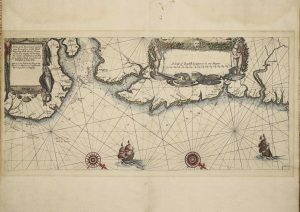
245 x 525 mm., in early outline colour, printed on thick paper, signs of earlier framing, some loss to the extreme upper left corner 10 x 20 mm., large margins top and bottom, otherwise in good condition.
Stock number: 8768
£ 950
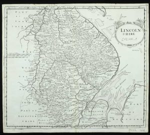
Amsterdam, 1585-[91]
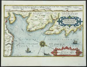
325 x 505 mm., full modern wash colour with Latin text on the verso, two tiny wormholes repaired and unnoticeable, otherwise in good condition.
Stock number: 8763
£ 1,750
Amsterdam, c.1620
360 x 420 mm., modern wash colour, in good condition.
Stock number: 8308
£ 165
Anthony Ashley, London, 1588
325 x 505 mm., with English text on the verso, in very good condition.
Stock number: 8053
£ 2,500
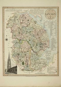
London, 1815
310 x 255 mm., early outline colour, in good condition.
Stock number: 7915
£ 30
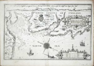
London, 1675
350 x 450 mm., small mark lower margin otherwise in good condition.
Stock number: 5896
£ 150
London, 1695
360 x 420 mm., small centrefold split repaired, in good condition.
Stock number: 5452
£ 85
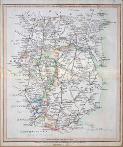
London, 1822
440 x 350 mm., in lovely early wash colour. Excellent condition.
Stock number: 3893
£ 300