


Mr. Philip D. Burden
P.O. Box 863,
Chalfont St. Giles, Bucks HP6 9HD,
UNITED KINGDOM
Tel: +44 (0) 1494 76 33 13
Email: enquiries@caburden.com
12 rare maps matched your search criteria.
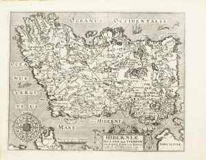
John Sudbury and George Humble, London, 1612-[32]
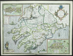
FIRST STATE. 390 x 515 mm., in recent wash colour, in good condition.
Stock number: 11765
£ 550
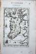
Nuremberg, 1627-[c.40]
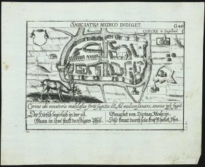
100 x 145 mm., in good condition.
Stock number: 11779
£ 175
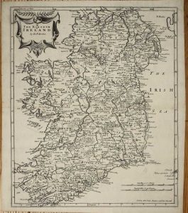
Richard Mount and Thomas Page in Postern-Row on Tower Hill, London, 1701-[09]
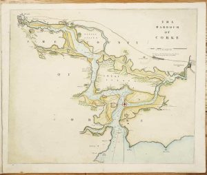
435 x 520 mm., in recent wash colour and good condition.
Stock number: 10864
£ 375
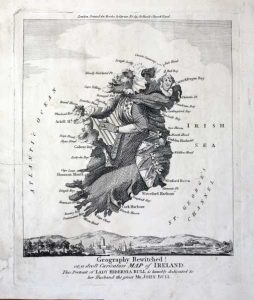
London, c.1790
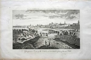
180 x 265 mm., in good condition.
Stock number: 7636
£ 50
Bowles & Carver No. 69 St Paul's Church Yard, London, c.1795-[c.1830]
205 x 165 mm., small tear in the lower left margin repaired, watermarked Whatman 1830, otherwise in good condition.
Stock number: 7357
£ 850
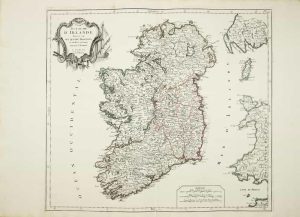
Paris, 1665
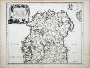
400 x 490 mm., in fine early outline colour, in very good condition.
Stock number: 6991
£ 275
London, 1607-[10]
280 x 350 mm., in good condition.
Stock number: 4983
£ 450
Venice, 1778-[84]
475 x 535 mm., good early outline colour on strong paper with large margins.
Stock number: 4832
£ 395
London, 1841-[72]
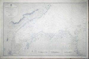
620 x 960 mm., uncoloured, minor foxmark centre right.
Stock number: 2868
£ 350
Amsterdam, 1595-[1633]
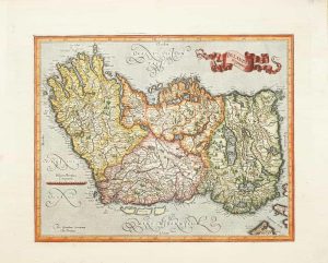
340 x 420 mm., recent wash colour, with Dutch text to the verso, in good condition.
Stock number: 2642
£ 580