


Mr. Philip D. Burden
P.O. Box 863,
Chalfont St. Giles, Bucks HP6 9HD,
UNITED KINGDOM
Tel: +44 (0) 1494 76 33 13
Email: enquiries@caburden.com
626 rare maps matched your search criteria.
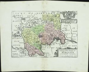
London, 1744
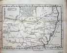
130 x 180 mm. Uncoloured. Folded. Left margin tight with slight discolouration.
Stock number: 2609
£ 90
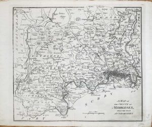
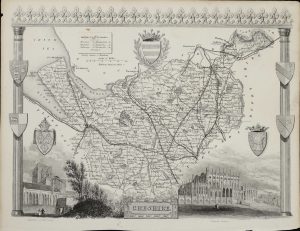
London, 1843
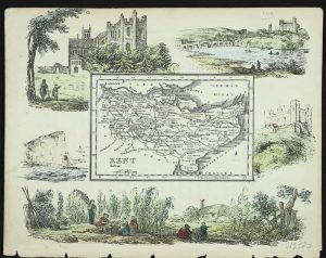
150 x 185 mm. In early wash colour. Complete with accompanying text.
Stock number: 2580
£ 100
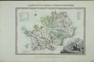
London, 1840
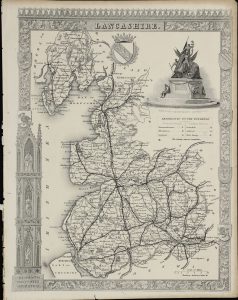
265 x 200 cm. Uncoloured. Top margin tight, stitch marks to left margin, with margin in tact. Repair to 1" tear lower left hand and bottom margin.
Stock number: 2584
£ 40
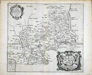
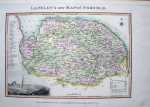
London, 1681-[1715]
140 x 210 mm. With early wash colour. Slight discolouration to centrefold, and repair to lower centrefold.
Stock number: 2588
£ 165
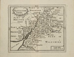
London, 1788
290 x 325 mm. Uncoloured. Slightly faint down left hand side of map.
Stock number: 2592
£ 85
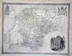
Amsterdam, 1645
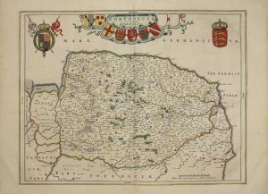
380 x 495 mm., early outline and wash colour, in good condition.
Stock number: 2597
£ 525
Amsterdam, 1646
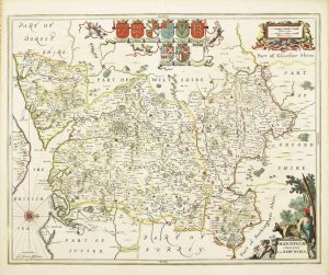
440 x 550 mm., early outline colour.
Stock number: 2564
£ 625
London, 1761
160 x 190 mm., uncoloured, with two folds as issued in the book, in good condition.
Stock number: 2549
£ 95
Amsterdam, 1708
385 x 950 mm., two sheets joined as one as issued, in full wash colour and good condition.
Stock number: 10437
£ 195
London, 1785
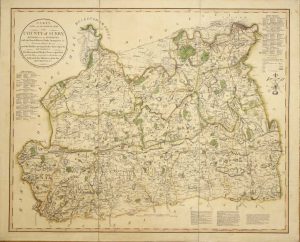
ONE OF CARY'S EARLIEST WORKS, VERY RARE. 600 x 750 mm., dissected into three and laid on contemporary linen, early outline and wash colour, in good condition.
Stock number: 10349
£ 950
London, c.1764
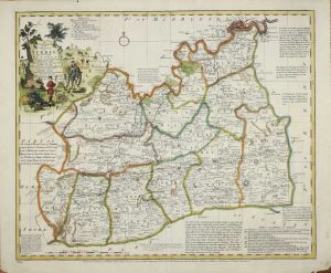
EXCEEDINGLY RARE FIRST STATE. 420 x 500 mm., in early outline colour, with two small areas of repair, otherwise in good condition.
Stock number: 10351
£ 595
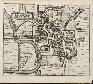
John Sudbury and George Humble, London, 1612
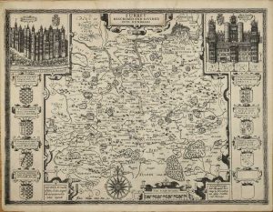
FIRST EDITION. 380 x 510 mm., with small lower margin tear, just into the neatline repaired, light waterstain to the upper centrefold, otherwise a dark impression in good condition.
Stock number: 10353
£ 1,250
London, 1612-[13]
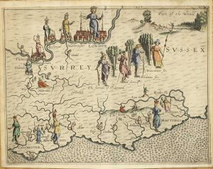
250 x 335 mm., in fine modern wash colour, good margins, in good condition.
Stock number: 10354
£ 325