


Mr. Philip D. Burden
P.O. Box 863,
Chalfont St. Giles, Bucks HP6 9HD,
UNITED KINGDOM
Tel: +44 (0) 1494 76 33 13
Email: enquiries@caburden.com
32 rare maps matched your search criteria.
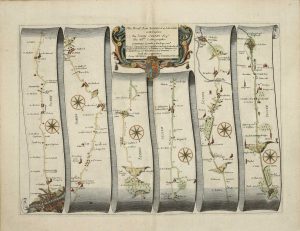
London, 1676-[77]
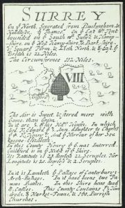
INCREDIBLY RARE. 60 x 95 mm., in good condition.
Stock number: 11846
£ 1,250
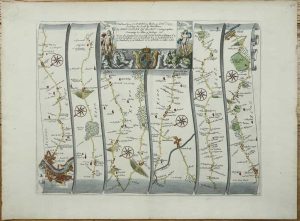
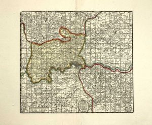
Mary Ann Rocque ye Corner of Old round Court Strand, London, c.1775
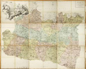
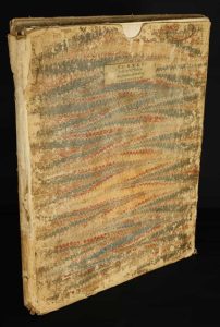
Folio engraved map on nine separate sheets, each approximately 540 x 685 mm., each dissected in four and backed on contemporary linen, each numbered in manuscript on the verso, in full contemporary wash colour, with original marbled paper slipcase, worn, with William Faden's label affixed, otherwise in good condition.
Stock number: 11798
£ 3,950
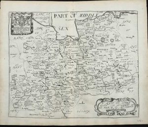
London, c.1603-[c.1670]
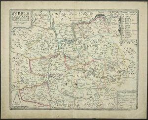
380 x 480 mm., with early outline colour, with two brown marks, evenly toned, otherwise in good condition.
Stock number: 11731
£ 950
John Garrett at the South Entrance of the Royall Exchange, London, 1644-[76]
280 x 505 mm., early outline colour, folds as issued, small area of loss along fold, repaired, otherwise in good condition.
Stock number: 11264
£ 295
London, 1675
310 x 430 mm., later wash colour, in good condition.
Stock number: 11266
£ 350
London, 1643
100 x 100 mm., with outline and wash colour, with large margins, in good condition.
Stock number: 11010
£ 110
London, 1673
260 x 310 mm., in good condition.
Stock number: 10987
£ 175
Nuremberg, 1741
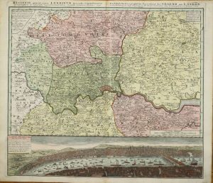
510 x 570 mm., full early wash colour, in good condition.
Stock number: 10686
£ 650
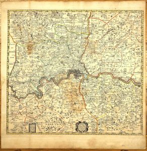
Sold by Robert Green at ye Rose and Crown, in Budg-Row. And by Robert Morden. at ye Atlas in Cornhill, London, 1675
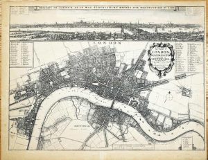
FIRST STATE. 435 x 585 mm., etching, light toning to the paper, otherwise in very good condition.
Stock number: 10468
£ 17,500
Carington Bowles, John Bowles, Robert Sayer and John Bennett., London, 1777
420 x 500 mm., in early outline colour, in good condition.
Stock number: 10365
£ 750
Printed for T. Bowles in St. Pauls Church Yard, J. Bowles & Son. and Mess. Bakewell & Parker in Cornhill, H. Overton without Newgate, T. Kitchin on Holborn Hill, R. Sayer & J. Ryall & in Fleet Street., London, c.1764
EXCEEDINGLY RARE FIRST STATE. 420 x 500 mm., in early outline colour, with small wormhole at the edge of the lower margin, otherwise in good condition.
Stock number: 10364
£ 750
London, 1675
320 x 445 mm., recent wash colour, in good condition.
Stock number: 10358
£ 325
London, c.1690
A VERY EARLY ENVIRONS MAP. 260 x 290 mm., in early wash colour, with large margins, in very good condition.
Stock number: 9990
£ 1,750
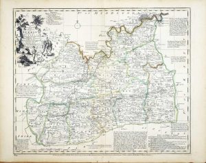
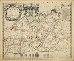
Phil. Lea at ye Atlas & Hercules in Cheapside, London, c.1690
515 x 560 mm., early outline colour, with minor water stain, printed on thick paper, with fold as issued, otherwise in good condition.
Stock number: 9734
£ 4,500
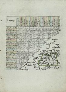
Holmesdale Natural History Club, London, [1863]
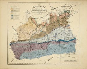
485 x 555 mm., early wash colour, UNFOLDED, in very good condition.
Stock number: 10369
£ 295
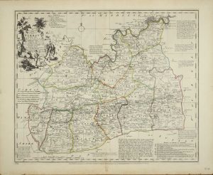
Philip Lea at ye Atlas and Hercules in Cheap Side, London, c.1680-[c.93]
SEPARATELY PUBLISHED. 420 x 515 mm., in early outline colour, in very good condition.
Stock number: 10360
£ 1,650
London, 1756
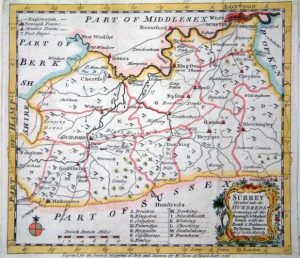
180 x 200 mm., in fine modern outline colour.
Stock number: 5698
£ 150
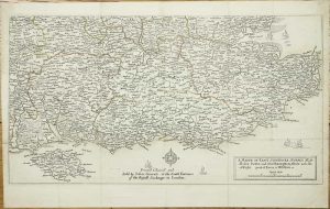
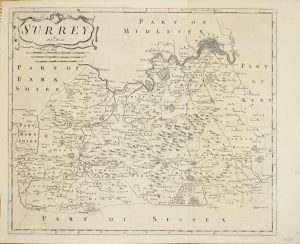
London, 1612
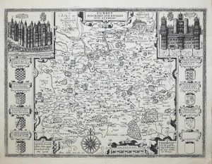
FIRST EDITION. 380 x 510 mm., with lower centrefold split repaired, small tear just into engraved margin upper left repaired, extreme lower right corner of margin reinstated, otherwise a dark impression in good condition.
Stock number: 9619
£ 850
London, c.1827
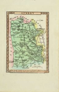
INCREDIBLY RARE. 90 x 60 mm., in full early wash colour, in good condition.
Stock number: 9357
£ 150