Mr. Philip D. Burden
P.O. Box 863,
Chalfont St. Giles, Bucks HP6 9HD,
UNITED KINGDOM
Tel: +44 (0) 1494 76 33 13
Email: enquiries@caburden.com
10 rare maps matched your search criteria.
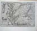
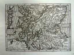
George Bishop and John Norton, London, 1607-[10]
260 x 310 mm., with fine recent wash colour, in good condition
Stock number: 10999
£ 475
Nuremberg, 1623-[c.40]
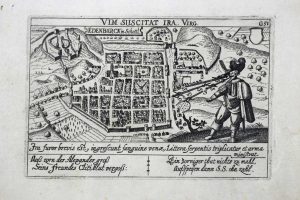
100 x 145 mm., in very good condition.
Stock number: 9040
£ 150
W & J Mount and T. Page at the Postern on Tower Hill, London, 1715-[49]
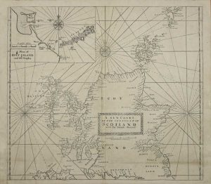
470 x 530 mm., with a double fold as issued in the atlas, upper corner repairs and margins of second folds all superbly restored, otherwise in excellent condition.
Stock number: 8557
£ 350
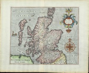
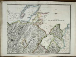
By Robert Greene at the Rose and Crown in Budg-row, London, 1679-[c.85]
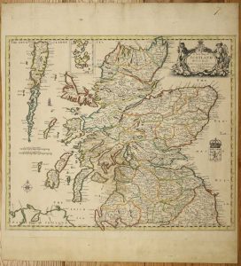
'SCOTLAND'S EARLIEST ROAD MAP'. 470 x 550 mm., in early outline colour, printed on thick paper with fold along the left side to facilitate inclusion in the Berry atlas, in good condition.
Stock number: 8335
£ 2,500
Paris, 1766
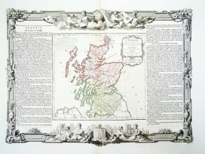
280 x 310 mm., early wash colour printed from two copper plates: the map is one and the outer border a second. The text panels to the sides are pasted on as usual. In good condition.
Stock number: 5874
£ 125
London, [1830]
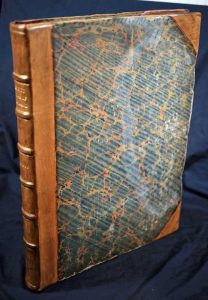
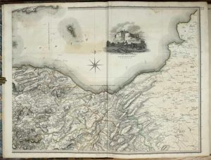
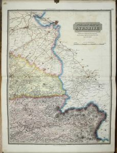
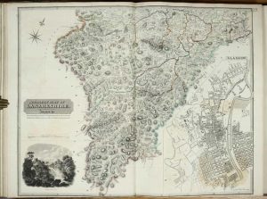
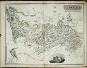
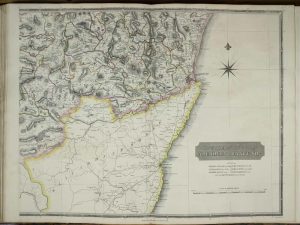

THE EARLIEST AVAILABLE FORM OF THE COMPLETE SET OF MAPS. Folio (570 x 450 mm.), half calf with contemporary marbled boards, rebacked with contemporary marbled endpapers. With 29 maps in 58 sheets, generally in early outline colour. Some light offsetting and foxing throughout, minor marginal tears repaired, generally in acceptable condition. As in the Chubb example the imprint of Lanarkshire is trimmed off.
Stock number: 5636
£ 3,950
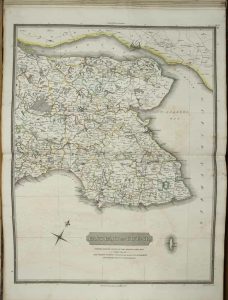
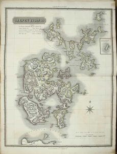
London, 1865
310 x 450 mm., with a light crease otherwise in good condition.
Stock number: 5261
£ 85
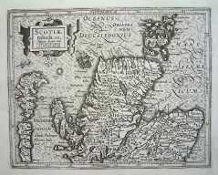
Amsterdam, 1607
140 x 180 mm. Uncoloured map, which has been cleaned, a fine dark impression. Faint remains of a library stamp lower right hand margin.
Stock number: 3255
£ 125
Amsterdam, 1607
140 x 180 mm. Uncoloured map, which has been cleaned, a fine dark impression. Faint remains of a library stamp lower right hand margin.
Stock number: 3256
£ 125