


Mr. Philip D. Burden
P.O. Box 863,
Chalfont St. Giles, Bucks HP6 9HD,
UNITED KINGDOM
Tel: +44 (0) 1494 76 33 13
Email: enquiries@caburden.com
99 rare maps matched your search criteria.
Nuremberg, 1493
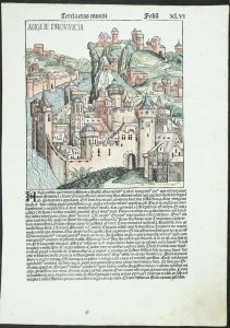
235 x 225 mm., woodblock engraving on a folio leaf of text, with old wash colour, with wax mark in lower margin, otherwise in good condition.
Stock number: 11853
£ 450
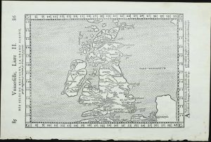
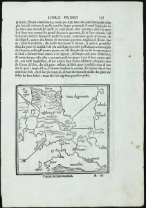
Venice, 1548
125 x 175 mm., with minor loss of margin edge top and bottom centrefold, otherwise in good condition.
Stock number: 11740
£ 495
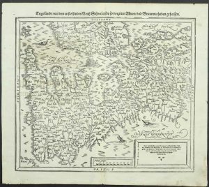
Vienne, 1522-[41]
295 x 410 mm., with worm tracks in the margins repaired, one further at centrefold repaired, otherwise in good condition.
Stock number: 11736
£ 1,950
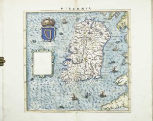
Amsterdam, 1616
FIRST EDITION. 105 x 140 mm., in good condition.
Stock number: 11771
£ 125
Amsterdam, 1645
FIRST EDITION. 410 x 530 mm., early wash colour, with Latin text on the verso, in good condition.
Stock number: 11780
£ 2,250
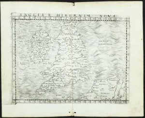
Venice, 1706
460 x 615 mm., very minor loss to extreme upper right corner, otherwise in good condition.
Stock number: 11803
£ 195
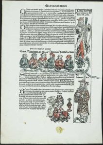
Henri Petri, Basle, 1574-[1618]
255 x 170 mm., in good condition.
Stock number: 11745
£ 175
Michel Sonnius, Paris, 1575
185 x 290 mm., in good condition.
Stock number: 11751
£ 375
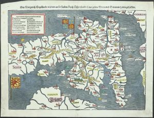
Sebastian Petri, Basel, 1588-[92]
325 x 360 mm., light wrinkle along centrefold, otherwise in good condition.
Stock number: 11756
£ 295
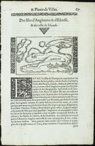
Venice, 1597
135 x 170 mm., printed on a leaf of text, light paper imperfection in the text below, otherwise in good condition.
Stock number: 11760
£ 95
Performed by Iohn Speed, and ar to besolde in Popes head alley by George Humble, London, 1627
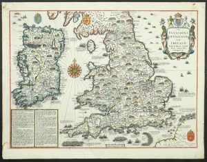
380 x 510 mm., later outline and wash colour, in good condition.
Stock number: 11763
£ 2,250
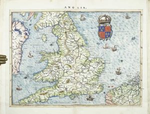
Heirs of Melchoir Sessa, Venice, 1561-[98]
205 x 260 mm., light foxing in upper margin, otherwise in good condition.
Stock number: 11744
£ 350
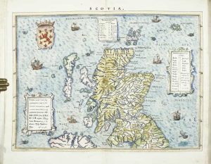
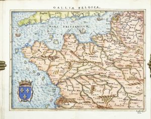
Antwerp, 1570-[79]
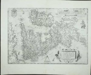
345 x 500 mm., in good condition.
Stock number: 11746
£ 850
Paris, c.1605
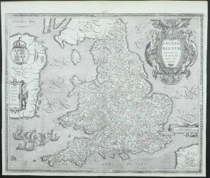
385 x 480 mm., with double folds as usual, small tear at double fold professionally repaired, otherwise in good condition.
Stock number: 11759
£ 1,850
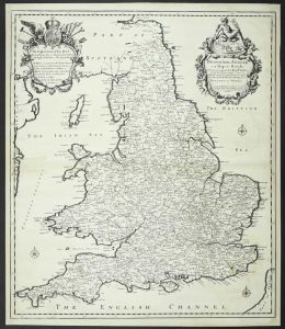
Arthur Tooker over against Northumberland house in ye Strand and Wm. Battersby at Thavies Inn Gate in Holborn, London, 1680
ONE OF ONLY FOUR RECORDED EXAMPLES. 550 x 455 mm., early outline colour, repaired centrefold splits both sides, otherwise in good condition.
Stock number: 11783
£ 3,500
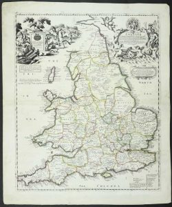
Robert Morden at the Atlas in Cornhill and by Jos. Pask at the 3 Ink Bottles in Castle Ally ath the West end of the Royall Exchang, London, c.1690
FOUR RECORDED EXAMPLES. 600 x 520 mm., with professional repair to splits around the centrefold, with extended margins both sides and facsimile neatline lower left, otherwise in good condition.
Stock number: 11784
£ 2,750
Michael Isingrin, Basle, 1555-[58]

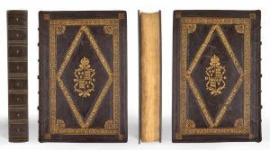
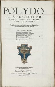
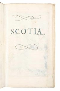
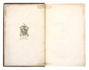
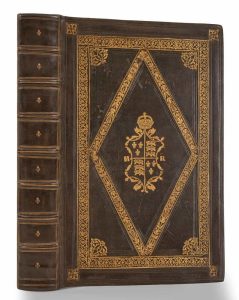
FROM THE LIBRARY OF TUDOR QUEEN MARY, THE MOST IMPORTANT DISCOVERY IN TUDOR CARTOGRAPHY SINCE 1982. WITH FOUR CONTEMPORARY TUDOR MANUSCRIPT MAPS OF ENGLAND & WALES, IRELAND, SCOTLAND, AND FRANCE. Folio (337 x 220 mm.), richly bound for Queen Mary I of England and Ireland by the 'Medallion Binder', later calf (c. 1800) laid around the edges of the original sixteenth century ornate gilt calf panels preserving both boards. The central royal escutcheon framed by arabesque stamps and topped with Tudor crown on both panels, the arms built up from small tools showing France ancient in the first and fourth quarters and England in the second and third. With monogram "M R" flanking royal arms within a decorative central lozenge compartment. Outer ornamental gilt border frame of interlaced circles with arabesque decoration to inner and outer corners (one damaged and one missing), ribbed spine with replacement upper compartment, gilt ruled spine with fleur-de-lis to compartments.
Typographic title with printer's woodcut device in contemporary hand colour, two leaves within woodcut borders, including dedication leaf to Henry VIII, final leaf with printers device, red-ruled borders throughout, with early seventeenth century ink marginalia on pages 59 and 108, collating pp. [2], 691, [39]; a-z6, A-Z6, Aa-Pp6, all edges gilt, old ink title at head of fore-edge, "Re[g]ni Anglicarum | Polidoris", with armorial bookplate of "F[rancis] Fortescue Turvi-le" [1752-1839] bound inside the upper cover. Extra-illustrated with four illuminated manuscript double-page maps of England and Wales, Ireland, Scotland (bearing a date of 1558), and France bound before the text. All apparently executed by the same contemporary hand and only slightly smaller than the book itself.
Stock number: 11027
£ 1,200,000
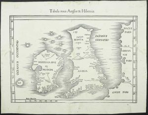
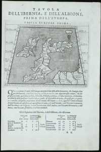
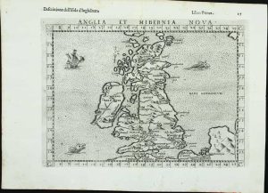
Venice, 1528
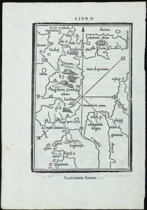
FIRST EDITION. 230 x 155 mm. & 135 x 145 mm., in good condition.
Stock number: 11735
£ 995
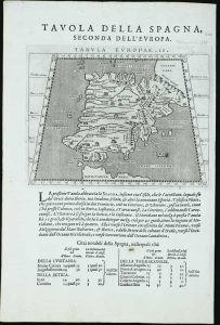
Basle, 1540-[45]
265 x 345 mm., recent wash colour, trimmed upper left corner, otherwise in good condition.
Stock number: 11739
£ 595
Lyon, 1564
90 x 130 mm., on a page with text, in good condition.
Stock number: 11741
£ 150