


Mr. Philip D. Burden
P.O. Box 863,
Chalfont St. Giles, Bucks HP6 9HD,
UNITED KINGDOM
Tel: +44 (0) 1494 76 33 13
Email: enquiries@caburden.com
11 rare maps matched your search criteria.
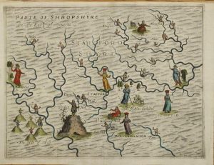
London, 1612
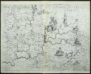
FIRST STATE. 255 x 335 mm., reinforcement to lower centrefold, otherwise in good condition.
Stock number: 11768
£ 250
William Humble, London, c.1599-[1646]
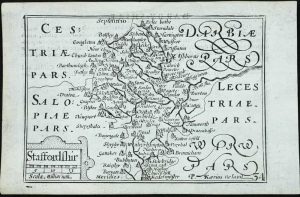
85 x 125 mm., in good condition.
Stock number: 11774
£ 70
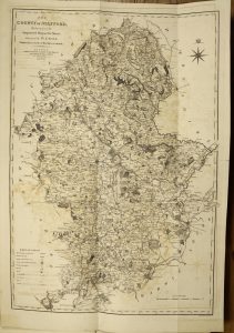
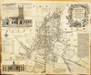
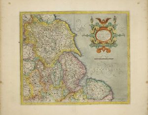
John Hinton at the Kings Arms in St. Pauls Churchyard, London, 1749
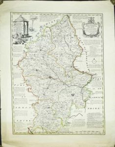
SEPARATELY PUBLISHED FIRST STATE. 710 x 540 mm., early outline colour, with very wide margins, some margin tears, repaired and light brown tone across the bottom, otherwise in good condition.
Stock number: 11787
£ 295
London, 1612-[13]
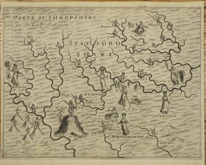
250 x 335 mm., in good condition.
Stock number: 10898
£ 295
London, 1612
FIRST STATE. 250 x 335 mm., in fine modern wash colour, in good condition.
Stock number: 10897
£ 350
Printed by and for J. Nichols, London, 1798-1801
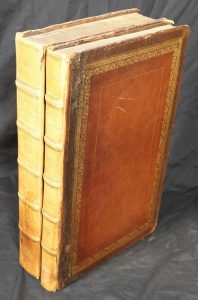
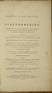
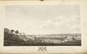
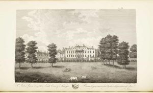
Folio, two volumes (470 x 290 mm.) each, volume 1 and volume 2 part 1 (all published)], full contemporary calf, ornate gilt and blind panelled boards, rebacked spine with ornate gilt and blind ribs, central gilt design to compartments, all edges gilt, marbled endpapers. With typographic title pages, pp. xxiv, (2), 125, xxxviii, 434, 38; containing two folding engraved maps, 82 engraved and aquatint plates (few folding), four folding genealogical tables, engraved illustrations, lacking half title, some offsetting as often, occasional browning and scattered spotting, otherwise a good example.
Stock number: 10745
£ 950
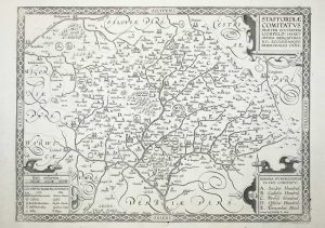
London, 1577-[79]
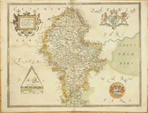
390 x 500 mm., early wash colour, three small fox marks, with the bunch of grapes watermark, otherwise in good condition.
Stock number: 10458
£ 3,950
Amsterdam, 1645-[63]
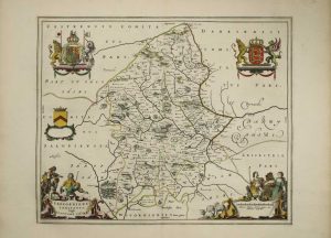
420 x 510 mm., early outline colour with French text to the verso, with large margins and in good condition.
Stock number: 10441
£ 375
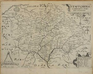
Sold by John Overton at ye white horse without Newgate neere ye fountaine tavern, London, 1599-[c.1670]
340 x 465 mm., with large margins, in excellent condition.
Stock number: 9623
£ 1,500
Amsterdam, c.1620
360 x 420 mm., modern wash colour, in good condition.
Stock number: 8308
£ 165
London, 1607-[37]
270 x 380 mm., light mark to lower margin and small split nearby, both short of the image.
Stock number: 3728
£ 160