


Mr. Philip D. Burden
P.O. Box 863,
Chalfont St. Giles, Bucks HP6 9HD,
UNITED KINGDOM
Tel: +44 (0) 1494 76 33 13
Email: enquiries@caburden.com
626 rare maps matched your search criteria.
George Willdey at the Great Toy and Print Shop the corner of Ludgate Street next St. Pauls Church , London, 1713
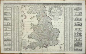
610 x 990 mm., early outline colour, with double folds to enable binding in Willdey's atlas, with wide borders in good condition.
Stock number: 11272
£ 2,950
Paris, 1757
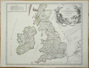
FIRST STATE. 475 x 580 mm., early outline colour, in good condition.
Stock number: 11273
£ 225
London, c.1785
95 x 60 mm., laid on paper as issued, in good condition.
Stock number: 11274
£ 350
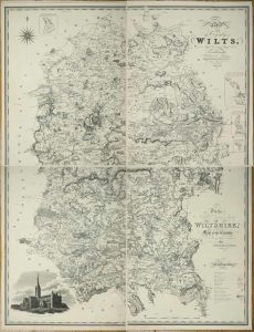
Vienna, 1787-[c.90]
Four loose double-page sheets, each approximately 635 x 540 mm., making a map about 1270 x 1080 mm. in total, early outline colour, in very good condition.
Stock number: 11275
£ 275
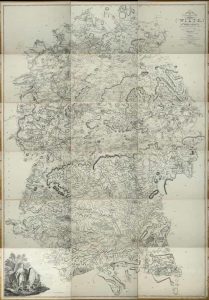
Robert Laurie and James Whittle, London, 1752-[94]
1270 x 1080 mm., four sheets deckled edged, in early outline colour, with a couple of margin tears, one in lower right sheet just touching the engraved plate mark, otherwise in good condition.
Stock number: 11276
£ 350
Published for the Proprietors Greenwood, Pringle & Co, 13 Regent Street, Pall Mall, London, 12 December 1820
1445 x 1115 mm., in four individual sheets, a couple of marks on the lower left sheet, otherwise in good condition.
Stock number: 11277
£ 1,500
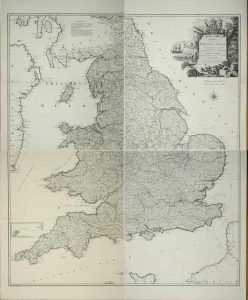
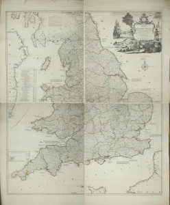
William Faden, London, 1773-[1 January 1810]
A VERY LARGE TWO INCH TO THE MILE MAP. Eighteen double-page sheets each approximately 465 x 645 mm., all in early outline colour, most internal edges trimmed to neatline with no loss of any imprint, a couple of minor tears repaired, extreme lower right corner a little waterstained, otherwise in good condition.
Stock number: 11278
£ 1,250
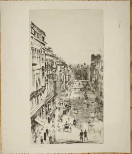
Vanity Fair, London, 1879
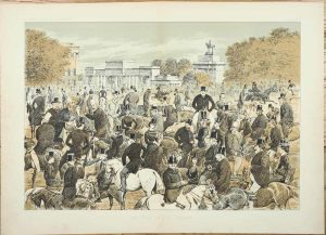
THE FIRST DOUBLE PAGE LITHOGRAPH PUBLISHED IN VANITY FAIR. 340 x 460 mm., double page lithograph, in very good condition.
Stock number: 11282
£ 150
Vanity Fair, London, 1878
300 x 160 mm., trimmed top and bottom, otherwise in good condition.
Stock number: 11283
£ 50
London, 1676-[77]
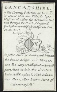
INCREDIBLY RARE. 90 x 55 mm., in excellent good condition.
Stock number: 11284
£ 1,750
Sold by Geo: Willdey at the Great Toy, Spectacle, China ware, & PrintShop, the Corner of Ludgate Street near St. Pauls, London, 1576-[c.1732]
420 x 475 mm., early outline colour, in good condition.
Stock number: 11263
£ 1,250
Amsterdam, 1645
415 x 505 mm., early outline and wash colour, with very light grey wash marks in portions of the margin, otherwise in good condition.
Stock number: 11261
£ 295
London, c.1689-[c.1693]
390 x 450 mm., early outline colour, small worm track in the upper right edge clear of the image, otherwise in good condition.
Stock number: 11262
£ 895
Rickmansworth, c.1926
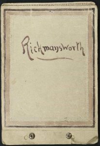
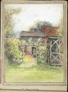
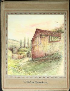
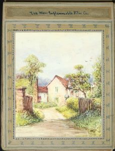
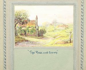
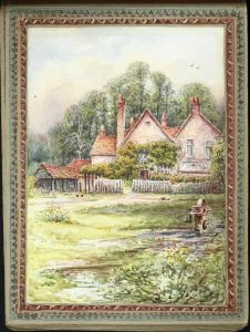
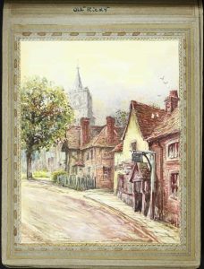
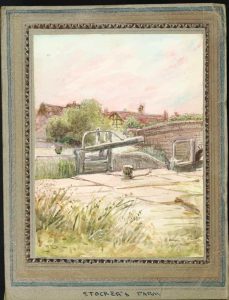
Oblong (155 x 230 mm.), art book with two early metal screws for binding. With manuscript title on the upper cover and 35 fine quality unsigned watercolours, in good condition.
Stock number: 11183
£ 595
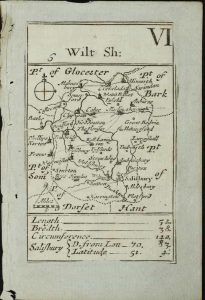
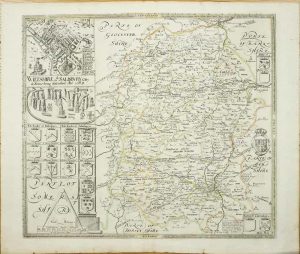
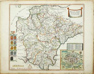
London, 1607-[10]
285 x 355 mm., recent outline colour, good condition.
Stock number: 11259
£ 225
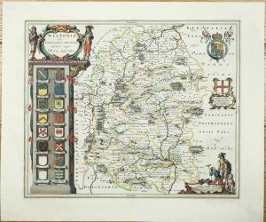
John Garrett at the South Entrance of the Royall Exchange, London, 1644-[76]
280 x 505 mm., early outline colour, folds as issued, small area of loss along fold, repaired, otherwise in good condition.
Stock number: 11264
£ 295
London, 1675
335 x 470 mm., later wash colour, very small paper flaw in second strip, otherwise in good condition.
Stock number: 11265
£ 425
London, 1675
310 x 430 mm., later wash colour, in good condition.
Stock number: 11266
£ 350
London, 1675
340 x 455 mm., recent wash colour, light paper crease in upper right margin, otherwise a fine engraving in good condition.
Stock number: 11267
£ 250
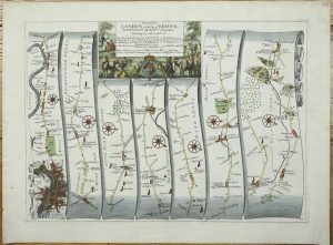
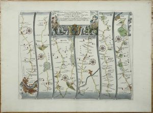
London, 1675-[98]
![The Roads from Chelmsford [to] Maldon Raleigh in Essex [to] Gravesend in Kent ... With the branch from Canterbury to Deal by Sandwich thence to Dover](https://www.caburdenraremaps.com/wp-content/uploads/2025/10/11268-300x245.jpg)
330 x 425 mm., evenly toned, a fine engraving in good condition.
Stock number: 11268
£ 250