


Mr. Philip D. Burden
P.O. Box 863,
Chalfont St. Giles, Bucks HP6 9HD,
UNITED KINGDOM
Tel: +44 (0) 1494 76 33 13
Email: enquiries@caburden.com
5 rare maps matched your search criteria.
A Paris dans l'!sle sur Ie Quay de l'Orloge a la Sphere Royale avec Prive. Du Roy 1715, Paris, 1715
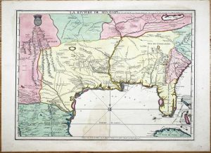
EXTREMELY RARE FIRST STATE OF NICOLAS DE FER'S LANDMARK MAP IN FULL CONTEMPORARY WASH COLOUR. 465 x 640 mm., in full early wash colour, faint water stain lower centrefold, otherwise in excellent condition.
Stock number: 9768
$ 49,500
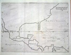
Leiden, 1630
275 x 350 mm., in recent wash colour, good condition.
Stock number: 6044
$ 3,950
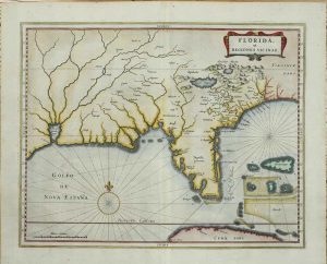
Robert Sayer, London, 1772-[75]
FIRST LARGE SCALE ENGLISH MAP OF THE REGION AFTER THE TREATY. 1120 x 340 mm., in fine early outline colour. Two sheets joined, printed on strong paper, in good condition.
Stock number: 8848
$ 5,500
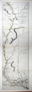
Madrid, 1601
215 x 280 mm., in good condition.
Stock number: 6446
$ 1,950
London, 1765
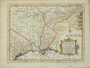
180 x 230 mm., modern wash colour, in good condition.
Stock number: 3994
$ 450