


Mr. Philip D. Burden
P.O. Box 863,
Chalfont St. Giles, Bucks HP6 9HD,
UNITED KINGDOM
Tel: +44 (0) 1494 76 33 13
Email: enquiries@caburden.com
19 rare maps matched your search criteria.
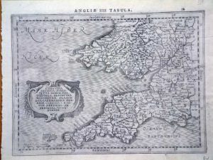
Leiden, 1584-[1588]
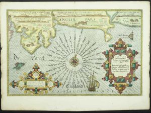
355 x 520 mm., with recent wash colour, a good example.
Stock number: 11758
£ 1,950
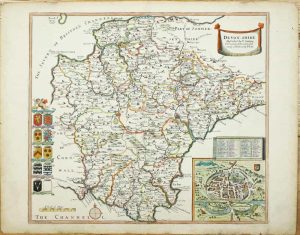
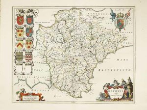
Amsterdam, 1675-[1745]
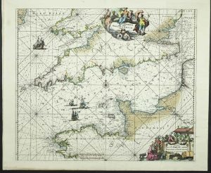
485 x 570 mm., in early wash colour, with centrefold split repaired as is one in the lower margin 4 cms. into the image, otherwise in good condition.
Stock number: 11789
£ 650
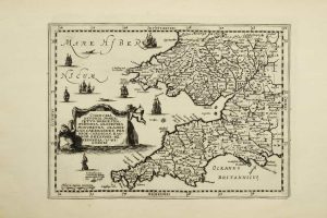
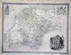
Amsterdam, 1672
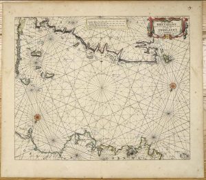
425 x 515 mm., early outline colour on good thick paper, light even toning, two minor paper creases, otherwise in good condition.
Stock number: 11376
£ 950
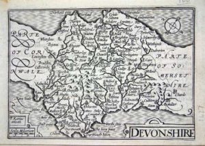
1641
270 x 360 mm., dark impression, with extended side margins, otherwise in good condition.
Stock number: 11356
£ 275
Nuremberg, 1627-[c.40]
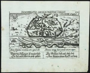
100 x 145 mm., lightly foxed, otherwise in good condition.
Stock number: 11778
£ 175
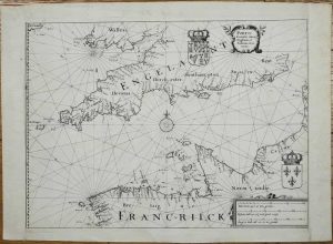
London, c.1689-[c.1693]
390 x 450 mm., early outline colour, small worm track in the upper right edge clear of the image, otherwise in good condition.
Stock number: 11262
£ 895
Amsterdam, 1630-[1735]
185 x 255 mm., in good condition.
Stock number: 10678
£ 150
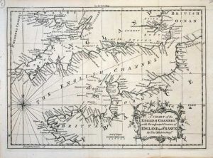
Depot de la Marine, Paris, 1825
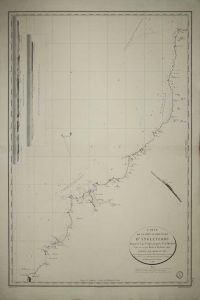
630 x 450 mm., in good condition.
Stock number: 10434
£ 150
Nuremberg, 1627-[c.40]
100 x 145 mm., later wash colour, in good condition.
Stock number: 9039
£ 195
London, 1675
345 x 445 mm., light overall toning otherwise in good condition.
Stock number: 8391
£ 150
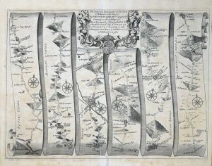
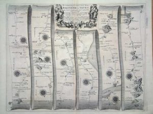
London, October 1758
185 x 260 mm., with folds as issued, in good condition.
Stock number: 7612
£ 60
Amsterdam, 1630
195 x 255 mm., in good condition.
Stock number: 6234
£ 150
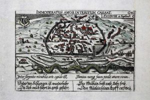
Cologne, 1617
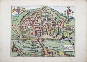
310 x 400 mm., early wash colour enhanced with gilt, in good condition.
Stock number: 6126
£ 1,150
London, 1675
345 x 450 mm., a fine engraving in good condition.
Stock number: 6028
£ 165
Paris, 1764
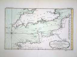
220 x 350 mm., early wash colour in fine condition.
Stock number: 4095
£ 125
Amsterdam, 1645-[46]
390 x 500 mm., early outline colour. With small mark near title.
Stock number: 3428
£ 500
Printed for the Author, by B. C. Collins, and Sold by him, Salisbury, 1791
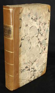
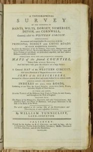
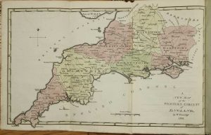
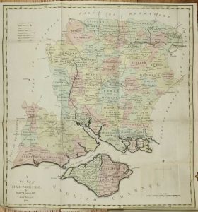
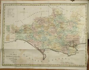
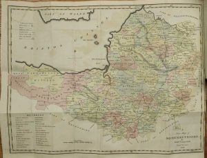
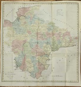
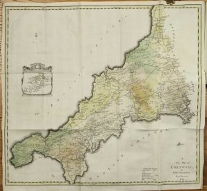
Octavo (230 x 140 mm.), recent half calf, preserving original marbled paper boards, uncut, spine with gilt ruled compartments preserving original gilt calf title label. Six parts bound as one, pp. (xii), 256, with 7 folding maps comprising one general map of the region and large folding ones for each of the six counties, all in early wash colour, each with a double page Index Table of Distances and 48 plates of the Arms of the Nobility for each county, in good condition.
Stock number: 10336
£ 650