


Mr. Philip D. Burden
P.O. Box 863,
Chalfont St. Giles, Bucks HP6 9HD,
UNITED KINGDOM
Tel: +44 (0) 1494 76 33 13
Email: enquiries@caburden.com
6 rare maps matched your search criteria.
London, 1695
360 x 420 mm., with recent outline and wash colour, cut close by publisher in the upper margin, no loss, tiny wormhole on neatline at the lower centrefold, otherwise in good condition.
Stock number: 10910
£ 95
1721
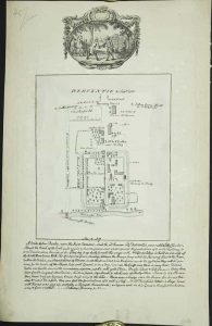
Pen and ink manuscript map 215 x 175 mm., laid on a contemporary print by Boydell dated 1773, with vignette pasted above and large manuscript description of the settlement below, in good condition.
Stock number: 6036
£ 150
R. Wilkinson, No. 58 Cornhill, London, 7 September 1786
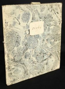
735 x 525 mm., in fine early wash colour, cut and dissected, laid on contemporary linen, with original marbled paper slipcase in excellent condition, paper label with manuscript 'Derby' on one side, very good condition.
Stock number: 9888
£ 550
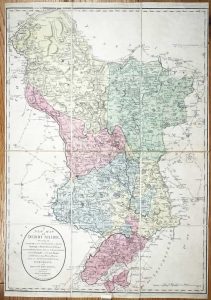
Amsterdam, c.1620
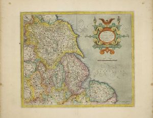
360 x 420 mm., modern wash colour, in good condition.
Stock number: 8308
£ 165
London, 1815
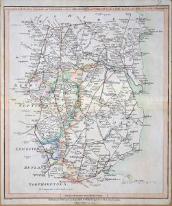
310 x 255 mm., early outline colour, in good condition.
Stock number: 7915
£ 30
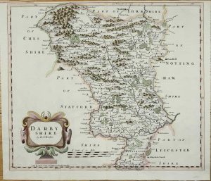
London, 1607-[10]
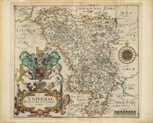
285 x 315 mm., outline colour with wash colour to the cartouche, small area of loss repaired in upper margin not affecting the image, otherwise in good condition.
Stock number: 5984
£ 225