


Mr. Philip D. Burden
P.O. Box 863,
Chalfont St. Giles, Bucks HP6 9HD,
UNITED KINGDOM
Tel: +44 (0) 1494 76 33 13
Email: enquiries@caburden.com
630 rare maps matched your search criteria.
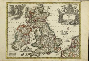
Amsterdam, 1646
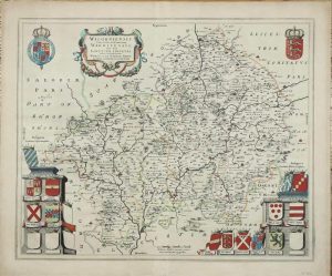
410 x 500 mm., in early outline colour with wash to the cartouches, Dutch text to the verso, in good condition.
Stock number: 10900
£ 275
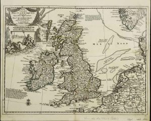
London, 1756
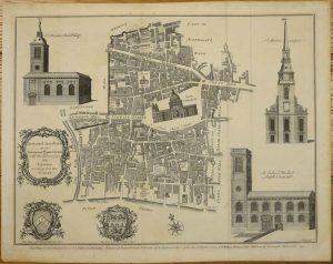
370 x 470 mm., with folds as issued, in good condition.
Stock number: 10901
£ 225
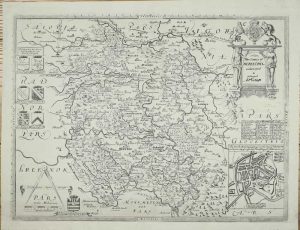
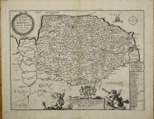
Amsterdam, 1645-[48]
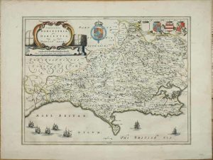
380 x 500 mm., early outline colour with Latin text to the verso, with light fold across the middle and generous margins, otherwise in good condition.
Stock number: 10902
£ 450
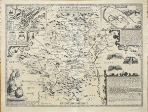
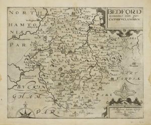
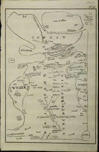
London, 1612-[13]
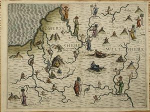
250 x 330 mm., recent outline colour, in good condition.
Stock number: 10903
£ 350
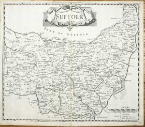
London, 1577-[c.1749]
EXTREMELY RARE FINAL STATE OF SAXTON'S MAP. 375 x 505 mm., lower margin extended, otherwise a nice impression in good condition.
Stock number: 10904
£ 1,750
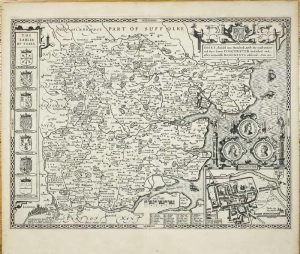
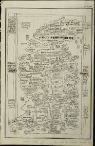
London, 1612
FIRST EDITION. 390 x 510 mm., with light even toning, otherwise in excellent condition.
Stock number: 10905
£ 995
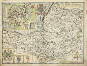
London, 1612
FIRST EDITION. 390 x 520 mm., two minor margin tears repaired, otherwise in good condition.
Stock number: 10906
£ 995
Sold With all other County and Countrey maps by John Overton at ye White horse without Newgate neere the fountaine tavern 1668, London, c.1680
375 x 500 mm., a little repair to the left margin in two places with no loss of engraved surface, with old outline and wash colour, otherwise a good example.
Stock number: 10907
£ 1,950
London, 1673
245 x 330 mm., in good condition.
Stock number: 10908
£ 195
Covens & Mortier, Amsterdam, 1714-[c.1735]
225 x 295 mm., early outline colour, in good condition.
Stock number: 10605
£ 150
Augsburg, 1744
200 x 260 mm., early outline colour, light foxing to margins, otherwise in good condition.
Stock number: 10606
£ 250
Leipzig, c.1745
![Gros Britanni[en] oder Engelland Schottland und Irrland](https://www.caburdenraremaps.com/wp-content/uploads/2023/11/10626-300x202.jpg)
160 x 240 mm., early wash colour, light soiling lower right, otherwise in good condition.
Stock number: 10626
£ 125
London, 1607-[10]
280 x 340 mm., with small water stain on outer edge of the margins, otherwise in good condition.
Stock number: 10438
£ 160
London, 1695
360 x 420 mm., small repaired tear in lower right margin not effecting the image, otherwise in good condition.
Stock number: 10444
£ 110
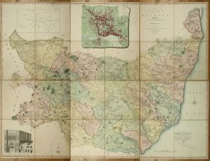
Published for the Proprietors By George Pringle Junr. 70 Queen Street, Cheapside, London, 1 October 1822
LARGE SCALE. Folio (660 x 420 mm.), later half calf, preserving original red morocco gilt title label affixed to upper board, housed in a modern solander box. Six double page sheets making up a map 1360 x 1860 mm., printed on J. Whatman wove paper watermarked 1821 all in full early wash colour, crease in lower corner of first sheet, otherwise in good condition.
Stock number: 10880
£ 1,950
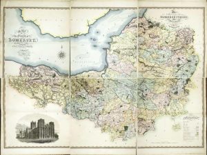
William Faden, Geographer to the King, (Successor to Mr. Jefferys) Charing Cross, London, 1783
LARGE SCALE. 1310 x 1610 mm., on six sheets, each dissected and mounted on linen, in full early wash colour, minor surface dirt, folding into near contemporary marbled paper slipcase, early gilt red calf label affixed to upper cover, in very good condition.
Stock number: 10881
£ 3,750
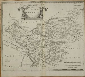
Richard Mount and Thomas Page in Postern-Row on Tower Hill, London, 1701-[09]
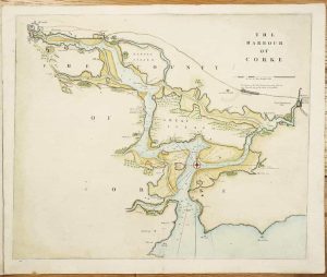
435 x 520 mm., in recent wash colour and good condition.
Stock number: 10864
£ 375
London, 1780
Four engraved maps, each circa 245 x 370 mm., in good condition.
Stock number: 10604
£ 195
London, 1764
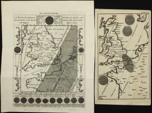
215 x 160 mm., and 195 x 115 mm. light stain to smaller item, otherwise in good condition.
Stock number: 10878
£ 295
London, 1695
345 x 415 mm., in good condition.
Stock number: 10851
£ 165