


Mr. Philip D. Burden
P.O. Box 863,
Chalfont St. Giles, Bucks HP6 9HD,
UNITED KINGDOM
Tel: +44 (0) 1494 76 33 13
Email: enquiries@caburden.com
630 rare maps matched your search criteria.
Amsterdam, 1607
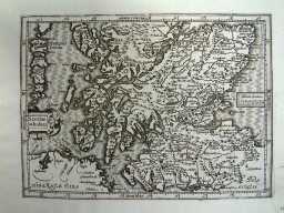
140 x 180 mm. Uncoloured map, which has been cleaned, a fine dark impression. Faint remains of a library stamp lower right hand margin.
Stock number: 3255
£ 125
Amsterdam, 1607
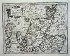
140 x 180 mm. Uncoloured map, which has been cleaned, a fine dark impression. Faint remains of a library stamp lower right hand margin.
Stock number: 3256
£ 125
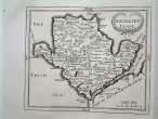
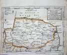
London, 1787
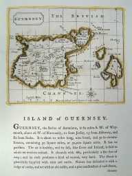
120 x 145 mm, In original outline colour. Excellent condition.
Stock number: 3215
£ 75
London, 1787
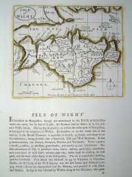
120 x 145 mm, In original outline colour. Excellent condition.
Stock number: 3219
£ 35
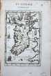
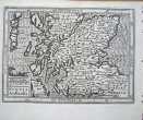
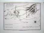
London, 1720-31
17 x 20.5cm.Uncoloured, folding map, with a minor worm hole, not affecting engraved surface.
Stock number: 3122
£ 75
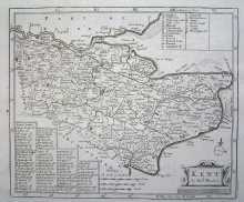
London, 1607-[37]

195 x 245 mm. Uncoloured map, which has been cleaned. Some discolouration at centrefold.
Stock number: 3073
£ 175
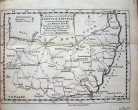
London, 1720-31
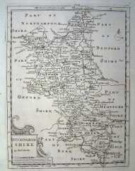
205 x 155 mm. Folding, uncoloured county map.
Stock number: 3112
£ 120
London, 1720-31
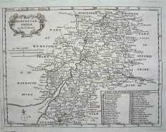
155 x 20 mm. Uncoloured, folding map. Mileage chart has been cleaned, and had a repair to a wormhole.
Stock number: 3117
£ 120
London, 1576-[1645]
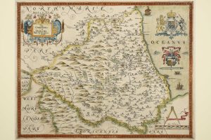
375 x 680 mm., old but not early wash colour, small split along the green colour on left side, the whole backed with paper.
Stock number: 3022
£ 1,200
London, 1841-[72]
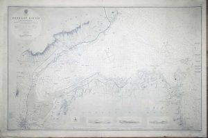
620 x 960 mm., uncoloured, minor foxmark centre right.
Stock number: 2868
£ 350
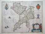
Amsterdam, 1686-[1709]
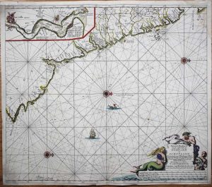
510 x 580 mm., modern outline colour, top margin extended not affecting the image, repaired rust mark, light waterstain upper right corner, otherwise in good condition.
Stock number: 2698
£ 395
Paris, 1822
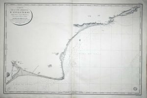
625 x 950 mm. Very slight offsetting upper right.
Stock number: 2709
£ 150
Amsterdam, 1595-[1633]
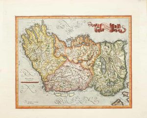
340 x 420 mm., recent wash colour, with Dutch text to the verso, in good condition.
Stock number: 2642
£ 580
Amsterdam, 1645
380 x 500 mm. Early outline wash colour. Slight split to upper centrefold. Some paper thinning. Some ink stains to text on reverse.
Stock number: 2654
£ 250
London, 1744
130 x 180 mm., some simple early outline colour.
Stock number: 2598
£ 80
London, 1744
130 x 180 mm. Uncoloured. Folded. Left margin tight with slight discolouration.
Stock number: 2609
£ 90