Rare Maps and Prints
- World & Celestial
- North America
- West Indies, South & Central America
- British Isles
- British Isles
- English counties
- Large-scale
- Bedfordshire
- Berkshire
- Buckinghamshire
- Cambridgeshire
- Cheshire
- Cornwall
- Cumberland
- Derbyshire
- Devon
- Dorset
- Durham
- Essex
- Gloucestershire
- Hampshire
- Herefordshire
- Hertfordshire
- Huntingdonshire
- Islands
- Kent
- Lancashire
- Leicestershire
- Lincolnshire
- Middlesex
- Norfolk
- Northamptonshire
- Northumberland
- Nottinghamshire
- Oxfordshire
- Rutland
- Shropshire
- Somerset
- Staffordshire
- Suffolk
- Surrey
- Sussex
- Warwickshire
- Westmoreland
- Wiltshire
- Worcestershire
- Yorkshire
- Wales
- Scotland
- Ireland
- Western Europe
- Eastern Europe
- Middle East
- Africa
- Asia
- Australasia & Pacific
- Decorative Prints
- Title Pages
Mr. Philip D. Burden
P.O. Box 863,
Chalfont St. Giles, Bucks HP6 9HD,
UNITED KINGDOM
Tel: +44 (0) 1494 76 33 13
Email: enquiries@caburden.com
Rare maps of British Isles
133 rare maps matched your search criteria.
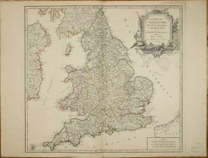
DE VAUGONDY, Didier Robert
Paris, 1753
475 x 515 mm., in early outline colour, in good condition.
Stock number: 7433
£ 175
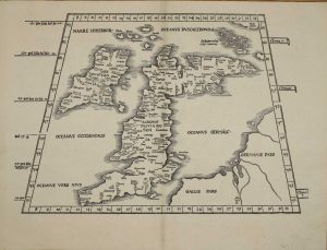
PTOLEMY, Claudius - FRIES, Laurent
Lyon, 1522-[41]
295 x 410 mm., in very good condition.
Stock number: 7407
£ 1,950
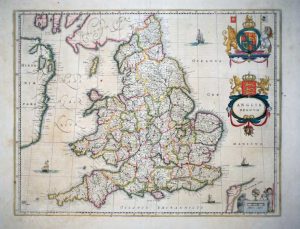
BLAEU, Willem Janszoon
Amsterdam, 1634-[59]
385 x 495 mm., early outline colour, with Spanish text, with tear to the upper margin repaired, in good condition.
Stock number: 7231
£ 260
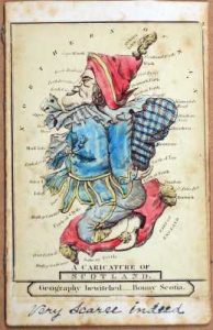
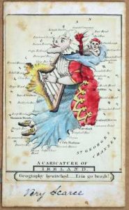
DIGHTON, Robert (after)
London?, c.1870
85 x 60 mm., each, laid on card, in printed colour, with remnants of paper to which they had been affixed on the verso, manuscript annotations on verso of all three signed 'LT'.
Stock number: 7039
£ 1,950
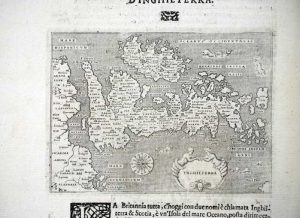
PORCACCHI, Tomaso
Venice, 1572-[c.76]
105 x 140 mm., on sheet with Italian text, in good condition complete with accompanying pages of text.
Stock number: 7045
£ 325
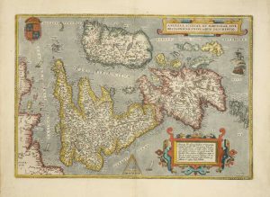
ORTELIUS, Abraham
Antwerp, 1570-[87]
345 x 500 mm., in fine modern wash colour, a small wormhole by the cartouche lower right repaired, otherwise in good condition.
Stock number: 6982
£ 1,100
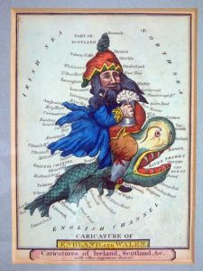
DIGHTON, Robert
London, c.1795
140 x 100 mm., early wash colour, in good condition.
Stock number: 6987
£ 650
CLOPPENBURG, Johannes
Amsterdam, 1630
195 x 255 mm., in good condition.
Stock number: 6235
£ 350
SEALE, Richard William
London, 1751
475 x 380 mm., in good modern outline colour, small tear just in to the margin lower right, otherwise in good condition.
Stock number: 5387
£ 175
MORDEN, Robert
London, 1695
370 x 300 mm., modern outline colour with wash applied to the cartouches. In fine condition
Stock number: 4419
£ 125
DE L'ISLE, Guillaume
Paris, 1702
470 x 610 mm. Decorative map in original outline colour, with a lovely cartouche. Some minor repairs to tears in the borders, not effecting the image. One small fox mark top right, and an ink mark lower left.
Stock number: 3345
£ 495
CHATELAIN, Henri Abraham
Amsterdam, 1708
385 x 950 mm., two sheets joined as one as issued, in full wash colour and good condition.
Stock number: 10437
£ 195
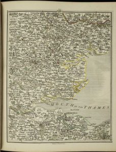
CARY, John
J. Cary, Engraver & Map-seller, No. 181 Strand, London, 1794-[1804]
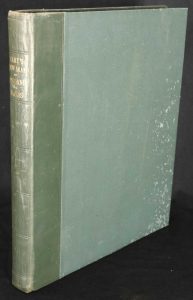
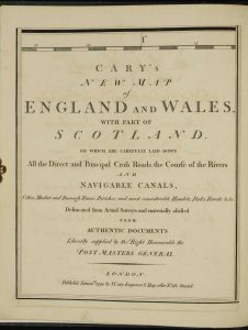
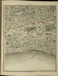
Quarto (290 x 245 mm.), modern green quarter calf, green cloth boards, spine with blind ruled compartments, gilt title, light wear. With engraved title (sheet 80), dedication (sheet 71), with pp. 14 list of roads and Index, early wash coloured general map (sheet 62), Explanation (sheet 72) and Scale (sheet 62) and map in 76 sections, numbered to 81, in early outline colour, interleaved with publishers' tissue, pp. 88 general Index bound at the end, minor print offsetting, otherwise in good condition.
Stock number: 10213
£ 395


