


Mr. Philip D. Burden
P.O. Box 863,
Chalfont St. Giles, Bucks HP6 9HD,
UNITED KINGDOM
Tel: +44 (0) 1494 76 33 13
Email: enquiries@caburden.com
455 rare maps matched your search criteria.
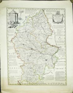
London, 1750
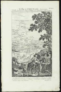
250 x 140 mm., very slight weakness to extreme lower right corner not affecting the image, otherwise in good condition. Complete with the three accompany leaves of text.
Stock number: 11791
£ 550
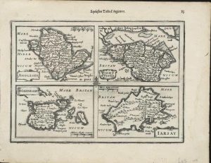
Amsterdam, 1628-[34]
145 x 200 mm., with recent wash colour, in good condition.
Stock number: 11350
£ 135
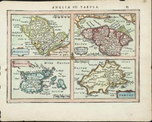
Amsterdam, 1628-[34]
145 x 200 mm., light waterstain in right margin, otherwise in good condition.
Stock number: 11351
£ 125
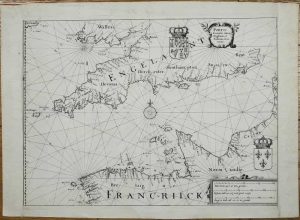
Amsterdam, 1630-[1738]

190 x 260 mm., recent wash colour, with wide margins, in good condition.
Stock number: 11354
£ 150
1641
270 x 360 mm., dark impression, with extended side margins, otherwise in good condition.
Stock number: 11356
£ 275
Amsterdam, 1672
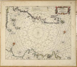
425 x 515 mm., early outline colour on good thick paper, light even toning, two minor paper creases, otherwise in good condition.
Stock number: 11376
£ 950
London, 1673
275 x 370 mm., with folds as issued, lower right fold split repaired, lower left inkmark, small paper hole upper left margin, otherwise in good condition.
Stock number: 11388
£ 275
Amsterdam, 1681
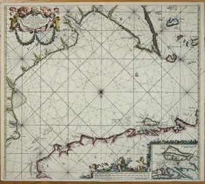
505 x 570 mm., in fine recent outline and wash colour, in very good condition.
Stock number: 11395
£ 750
Paris, 1693-[1753]
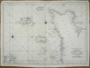
595 x 815 mm., dark impression on thick paper, margins trimmed with repairs to upper edges, otherwise in good condition.
Stock number: 11443
£ 450
John Sudbury and George Humble, London, 1612
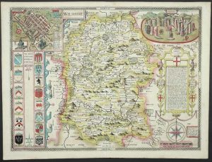
FIRST EDITION IN FULL EARLY WASH COLOUR. 380 x 510 mm., full early wash colour, small paper crease upper right corner, otherwise in very good condition.
Stock number: 11256
£ 1,950
Nuremberg, 1627-[c.40]
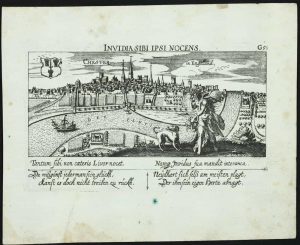
100 x 150 mm., with tear in lower left margin repaired, otherwise in good condition.
Stock number: 11777
£ 135
Nuremberg, 1627-[c.40]
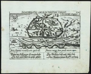
100 x 145 mm., lightly foxed, otherwise in good condition.
Stock number: 11778
£ 175
George Humble, London, c.1599-[1627]
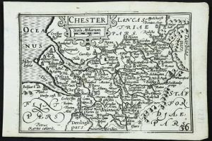
FIRST ENGLISH EDITION. 85 x 125 mm., a dark impression in good condition.
Stock number: 11773
£ 110
William Humble, London, c.1599-[1646]
85 x 125 mm., in good condition.
Stock number: 11774
£ 70
London, c.1603-[c.1670]
380 x 480 mm., with early outline colour, with two brown marks, evenly toned, otherwise in good condition.
Stock number: 11731
£ 950
London, 1607-[10]
290 x 320 mm., trimmed along the lower margin, otherwise in good condition.
Stock number: 11724
£ 160
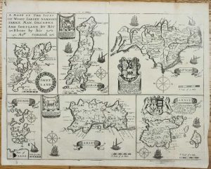
John Hinton at the Kings Arms in St. Pauls Churchyard, London, 1749
SEPARATELY PUBLISHED FIRST STATE. 710 x 540 mm., early outline colour, with very wide margins, some margin tears, repaired and light brown tone across the bottom, otherwise in good condition.
Stock number: 11787
£ 295
London, 1803
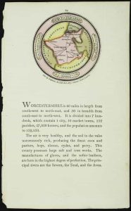
70 x 70 mm., with text below, in fine full early wash colour.
Stock number: 11790
£ 95
Paris, 1824
930 x 595 mm., small margin tear repaired, light offsetting, otherwise in good condition.
Stock number: 11792
£ 175