


Mr. Philip D. Burden
P.O. Box 863,
Chalfont St. Giles, Bucks HP6 9HD,
UNITED KINGDOM
Tel: +44 (0) 1494 76 33 13
Email: enquiries@caburden.com
456 rare maps matched your search criteria.
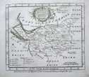
Amsterdam, 1646
440 x 550 mm., early outline colour.
Stock number: 2564
£ 625
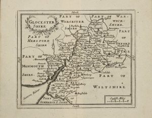
London, 1761
160 x 190 mm., uncoloured, with two folds as issued in the book, in good condition.
Stock number: 2549
£ 95
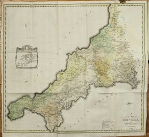
London, c.1764
EXCEEDINGLY RARE FIRST STATE. 420 x 500 mm., in early outline colour, with two small areas of repair, otherwise in good condition.
Stock number: 10351
£ 595
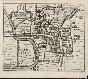
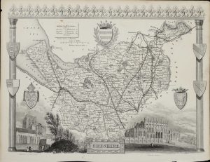
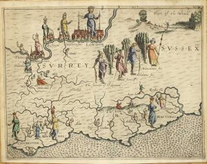
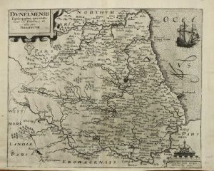
John Sudbury and George Humble, London, 1612
FIRST EDITION. 380 x 510 mm., with small lower margin tear, just into the neatline repaired, light waterstain to the upper centrefold, otherwise a dark impression in good condition.
Stock number: 10353
£ 1,250
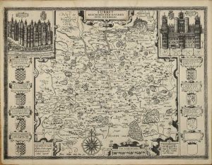
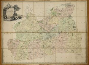
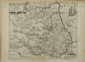
London, 1612-[13]
250 x 335 mm., in fine modern wash colour, good margins, in good condition.
Stock number: 10354
£ 325
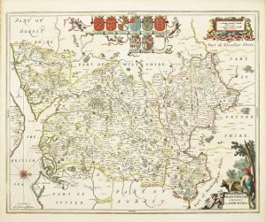
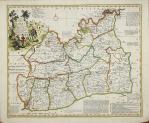
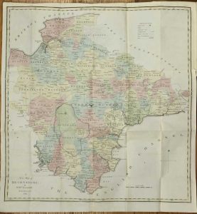
London, 1785
ONE OF CARY'S EARLIEST WORKS, VERY RARE. 600 x 750 mm., dissected into three and laid on contemporary linen, early outline and wash colour, in good condition.
Stock number: 10349
£ 950
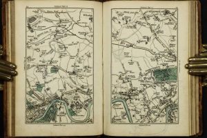
Printed for the Author, by B. C. Collins, and Sold by him, Salisbury, 1791
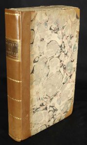
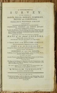
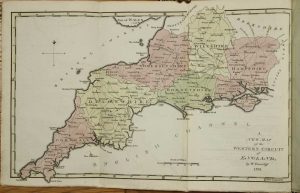
Octavo (230 x 140 mm.), recent half calf, preserving original marbled paper boards, uncut, spine with gilt ruled compartments preserving original gilt calf title label. Six parts bound as one, pp. (xii), 256, with 7 folding maps comprising one general map of the region and large folding ones for each of the six counties, all in early wash colour, each with a double page Index Table of Distances and 48 plates of the Arms of the Nobility for each county, in good condition.
Stock number: 10336
£ 650
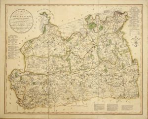
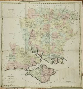
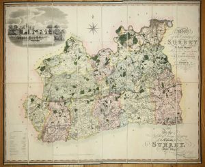
Publish'd for Lindley & Crosley. No. 10 Surrey Place Kent Road, London, 1793
RARE LARGE-SCALE MAP OF SURREY. 815 x 1120 mm., two sheets, full early wash colour, dissected and laid on contemporary linen, with original marbled paper slipcase, worn.
Stock number: 10345
£ 1,650
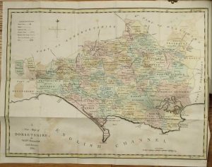
George Pringle Jnr. 70 Queen Street, Cheapside, London, 1 September 1823
LARGE SCALE. 1220 x 980 mm., engraved on four sheets, the whole dissected and laid on canvas, in early wash colour, edged in green silk with marbled endpapers. With recent green cloth slipcase, otherwise in good condition.
Stock number: 10347
£ 1,500
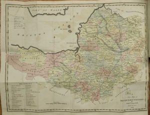
John Cary, Engraver, Map & Print-seller; No. 181 Strand, London, 20 June 1800
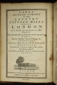
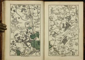
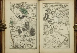
Small quarto (180 x 120 mm.), full contemporary calf, rebacked with double gilt ruled compartments, gilt date and calf gilt title label, light wear. With engraved title page, facing Explanation, folding general map, 50 full page maps, all in early outline colour with some wash to woods and parks, Index to place-names in three columns pp. 13., in good condition.
Stock number: 10193
£ 1,100
London, 1607-[10]
280 x 335 mm., nice dark impression, in good condition.
Stock number: 10009
£ 160
London, 1607-[10]
280 x 335 mm., light soiling upper corner, otherwise in good condition.
Stock number: 10010
£ 150