


Mr. Philip D. Burden
P.O. Box 863,
Chalfont St. Giles, Bucks HP6 9HD,
UNITED KINGDOM
Tel: +44 (0) 1494 76 33 13
Email: enquiries@caburden.com
370 rare maps matched your search criteria.
London, 1794
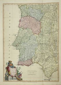
590 x 410 mm., fabulous early wash colour.
Stock number: 3813
£ 375
London, 1795
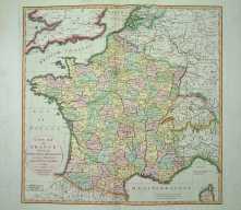
55 x 56 cms., full early wash colour. In excellent condition
Stock number: 3814
£ 250
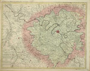
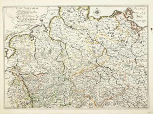
Liege, c.1760
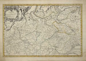
400 x 605 mm., early outline colour. With the lower right corner replaced just affecting the neat line supplied in facsimile, otherwise fine.
Stock number: 3695
£ 525
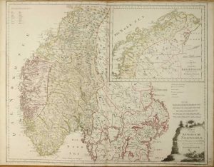
Florence, 1646-[61]
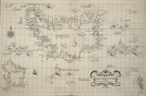
480 x 750 mm. In excellent condition.
Stock number: 3710
£ 4,750
Paris, 1766
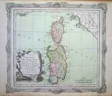
290 x 320 mm., early wash colour, some very light foxing, otherwise fine.
Stock number: 3435
£ 85
London, 1713
500 x 625 mm., early wash colour. With some marginal tears not effecting the image, repaired.
Stock number: 3264
£ 475
London, 1881[92]
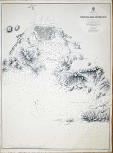
635 x 475 mm., with a diagonal crease running through lower right hand corner.
Stock number: 3310
£ 195
London, 1877[92]
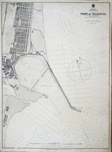
655 x 485 mm., minor nicks to margin, repaired, otherwise in good condition.
Stock number: 3311
£ 225
Paris, 1652
375 x 530 mm.. very detailed map in original outline colour, two wax marks, otherwise in good condition.
Stock number: 3402
£ 150
Vienna, 1796
590 x 730 mm., early wash colour.
Stock number: 3185
£ 425
Augsburg, c.1740
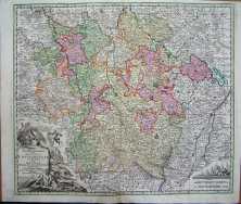
50 x 58 cms., early wash colour, small area in top margin re-instated, not effecting the image
Stock number: 3134
£ 155
Paris, 1651
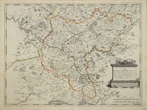
390 x 525 mm., early outline colour, good condition.
Stock number: 3135
£ 125
Venice, c.1840
230 x 300 mm., early wash colour, with some light foxing on the left margin, some distance from the image.
Stock number: 3180
£ 250
Paris, 1690
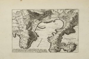
135 x 210 mm. Uncoloured map with some age toning.
Stock number: 3079
£ 105
Amsterdam, 1630
180 x 250 mm., with recent wash colour, minor repair to right hand corner of the map, otherwise in good condition.
Stock number: 3083
£ 175
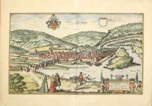
Cologne, 1590
335 x 480 mm., in fine wash colour, with a small worm hole and some age toning.
Stock number: 3026
£ 350
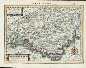
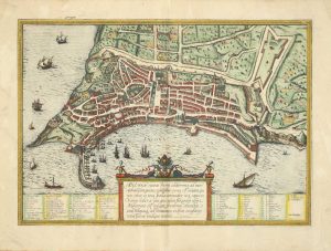
Antwerp, 1573-[79]
380 x 490 mm., with fine recent wash colour, with Latin text on the verso, in good condition.
Stock number: 3030
£ 275
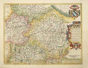
Cologne, 1617-[18]
360 x 510 mm., recent full wash colour, with German text to the verso.
Stock number: 3035
£ 345
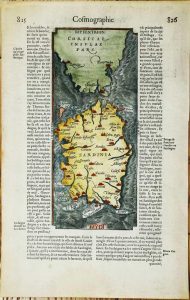
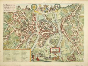
Cologne, 1590
290 x 480 mm., with recent wash colour, in good condition.
Stock number: 3037
£ 350