


Mr. Philip D. Burden
P.O. Box 863,
Chalfont St. Giles, Bucks HP6 9HD,
UNITED KINGDOM
Tel: +44 (0) 1494 76 33 13
Email: enquiries@caburden.com
136 rare maps matched your search criteria.
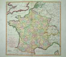
Paris, 1729
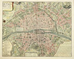
450 x 570 mm., with fine recent wash colour, with folds as issued, in fine condition.
Stock number: 4582
£ 650
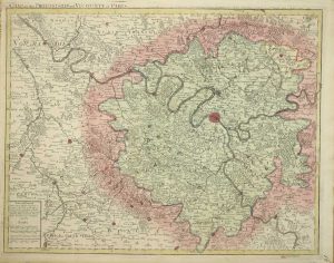
London, 1713
48 x 59.5 cms., in lovely early wash colour. With a small tear lower right extending just 2 cms. into the image, professionally restored. Otherwise in fine condition
Stock number: 4290
£ 175
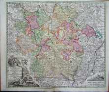
Amsterdam, c.1710
60 x 49.5 cms., early outline colour, in very good condition
Stock number: 4225
£ 195
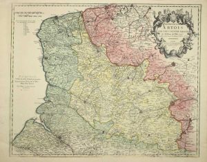
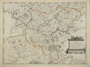
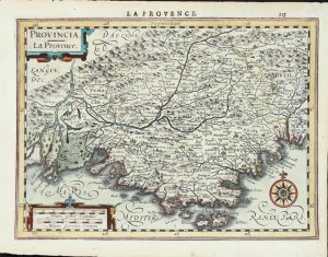
Paris, 1705
590 x 470 mm., early outline colour. Some light foxing to the lower margin otherwise in fine condition.
Stock number: 4160
£ 150
Francois Halma., Utrecht, 1578-[c.1695]
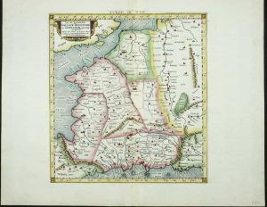
340 x 400 mm., a fine example in modern wash colour.
Stock number: 4032
£ 250
P. Mariette, Paris, 1651
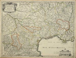
420 x 550 mm., early outline colour. One small paper crease upper margin otherwise a superb example.
Stock number: 3863
£ 250
London, c.1735
410 x 520 mm., with recent outline colour, lower centrefold split repaired, just affecting the image, otherwise in good condition.
Stock number: 3864
£ 325
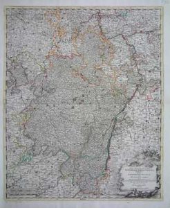
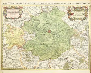
Amsterdam, 1682
450 x 580 mm., with recent wash colour, a centrefold split expertly repaired so that it is virtually invisible, otherwise in good condition.
Stock number: 3866
£ 995
London, 1795
55 x 56 cms., full early wash colour. In excellent condition
Stock number: 3814
£ 250
London, 1713
500 x 625 mm., early wash colour. With some marginal tears not effecting the image, repaired.
Stock number: 3264
£ 475
Augsburg, c.1740
50 x 58 cms., early wash colour, small area in top margin re-instated, not effecting the image
Stock number: 3134
£ 155
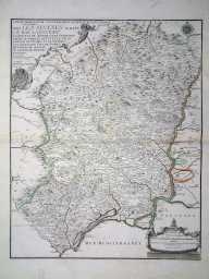
Paris, 1651
390 x 525 mm., early outline colour, good condition.
Stock number: 3135
£ 125
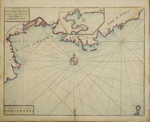
Paris, 1690
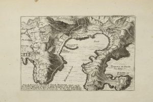
135 x 210 mm. Uncoloured map with some age toning.
Stock number: 3079
£ 105
Amsterdam, 1630
180 x 250 mm., with recent wash colour, minor repair to right hand corner of the map, otherwise in good condition.
Stock number: 3083
£ 175
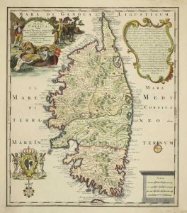
Amsterdam, 1700
470 x 610 mm., early wash colour, a little narrow margin top right but the platemark is all present, otherwise in good condition.
Stock number: 2898
£ 400
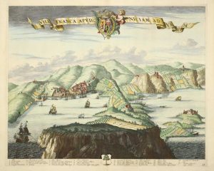
Amsterdam, 1730
560 x 485 mm., Decorative map in full early wash colour, minor verso support to upper right margin, otherwise in good condition.
Stock number: 2858
£ 795