


Mr. Philip D. Burden
P.O. Box 863,
Chalfont St. Giles, Bucks HP6 9HD,
UNITED KINGDOM
Tel: +44 (0) 1494 76 33 13
Email: enquiries@caburden.com
28 rare maps matched your search criteria.
London, 1695
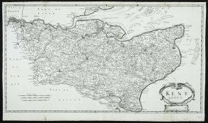
360 x 640 mm., small centrefold split repaired, otherwise a good example.
Stock number: 5463
£ 125
Paris, 1764
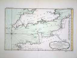
220 x 350 mm., early wash colour in fine condition.
Stock number: 4095
£ 125
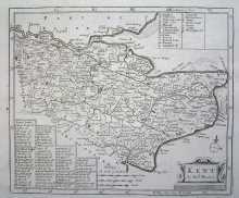
Brussels, 1712
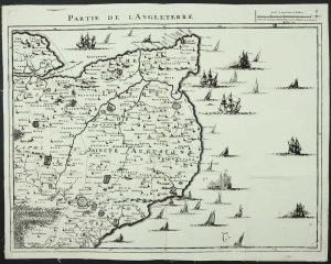
420 x 560 mm., backed on linen and folded, but not cut.
Stock number: 3961
£ 175
Leiden, 1584
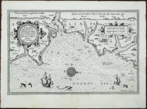
TRUE FIRST STATE. 330 x 510 mm., with Dutch text on the verso. In very good condition.
Stock number: 3916
£ 2,500
Robert Sayer, London, 1738-[74]
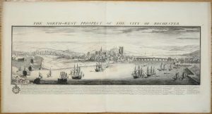
310 x 800 mm., in good condition.
Stock number: 3623
£ 500
London, 1720-31
17 x 20.5cm.Uncoloured, folding map, with a minor worm hole, not affecting engraved surface.
Stock number: 3122
£ 75
Paris, 1822
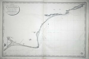
625 x 950 mm. Very slight offsetting upper right.
Stock number: 2709
£ 150
London, 1843
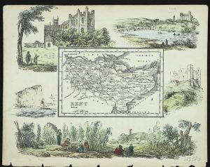
150 x 185 mm. In early wash colour. Complete with accompanying text.
Stock number: 2580
£ 100