Rare Maps and Prints
- World & Celestial
- North America
- West Indies, South & Central America
- British Isles
- British Isles
- English counties
- Large-scale
- Bedfordshire
- Berkshire
- Buckinghamshire
- Cambridgeshire
- Cheshire
- Cornwall
- Cumberland
- Derbyshire
- Devon
- Dorset
- Durham
- Essex
- Gloucestershire
- Hampshire
- Herefordshire
- Hertfordshire
- Huntingdonshire
- Islands
- Kent
- Lancashire
- Leicestershire
- Lincolnshire
- Middlesex
- Norfolk
- Northamptonshire
- Northumberland
- Nottinghamshire
- Oxfordshire
- Rutland
- Shropshire
- Somerset
- Staffordshire
- Suffolk
- Surrey
- Sussex
- Warwickshire
- Westmoreland
- Wiltshire
- Worcestershire
- Yorkshire
- Wales
- Scotland
- Ireland
- Western Europe
- Eastern Europe
- Middle East
- Africa
- Asia
- Australasia & Pacific
- Decorative Prints
- Title Pages
Mr. Philip D. Burden
P.O. Box 863,
Chalfont St. Giles, Bucks HP6 9HD,
UNITED KINGDOM
Tel: +44 (0) 1494 76 33 13
Email: enquiries@caburden.com
Rare maps of Pacific
26 rare maps matched your search criteria.
LA PEROUSE, Jean Francois Comte de
G. G. & J. Robinson, London, 1799
380 x 500 mm., small mark on shoreline right side, in good condition.
Stock number: 8109
£ 175
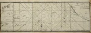
ANSON, Baron George
Amsterdam, c.1750
870 x 300 mm., in two sheets, with folds as issued in the book but here ironed out. Minor paper crease and binders tear repaired, otherwise in good condition.
Stock number: 7494
£ 275
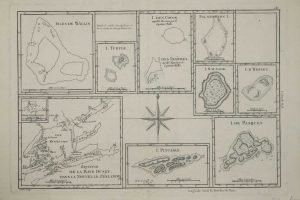
BONNE, Rigobert
Paris, c.1780
235 x 345 mm., in good condition.
Stock number: 5748
£ 125
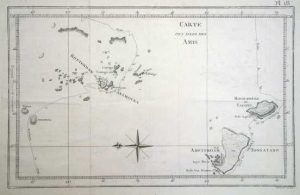
COOK, Captain James
Paris, c.1785
210 x 330 mm., in good condition.
Stock number: 5760
£ 60
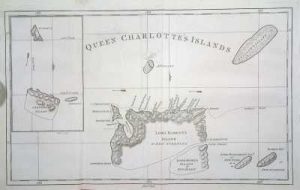
HAWKESWORTH, John
London, 1773
235 x 385 mm., in good condition.
Stock number: 4883
£ 125
HAWKESWORTH, John - COOK, Captain James
London, 1773
205 x 300 mm., in good condition.
Stock number: 4885
£ 95


![Plan of Easter Island Taken in April 1786 [on sheet with] Plan of Cook's Bay](https://www.caburdenraremaps.com/wp-content/uploads/2022/01/8109-300x224.jpg)
