


Mr. Philip D. Burden
P.O. Box 863,
Chalfont St. Giles, Bucks HP6 9HD,
UNITED KINGDOM
Tel: +44 (0) 1494 76 33 13
Email: enquiries@caburden.com
65 rare maps matched your search criteria.
Paris, 1821
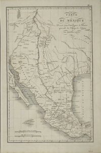
390 x 250 mm., early outline colour.
Stock number: 8820
$ 375
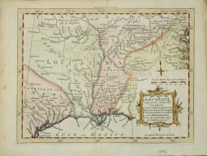
Robert Sayer, London, 1772-[75]
FIRST LARGE SCALE ENGLISH MAP OF THE REGION AFTER THE TREATY. 1120 x 340 mm., in fine early outline colour. Two sheets joined, printed on strong paper, in good condition.
Stock number: 8848
$ 5,500
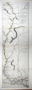
New York, 1853
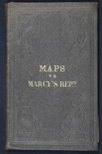
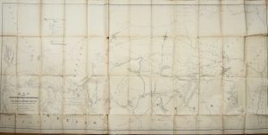
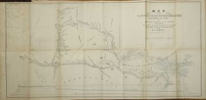
Octavo (230 x 145 mm.), original ornate blind embossed boards with gilt title to upper board, with two folding maps pasted to the inside of each board; 685 x 1555 mm., and 865 x 415 mm., occasional foxing, creases, a few splits, otherwise in good condition.
Stock number: 8967
$ 750
London, 1765
180 x 230 mm., modern wash colour, in good condition.
Stock number: 3994
$ 450
Amsterdam, 1698
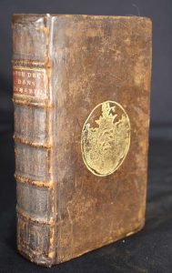
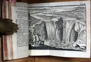

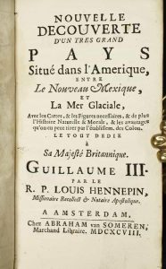
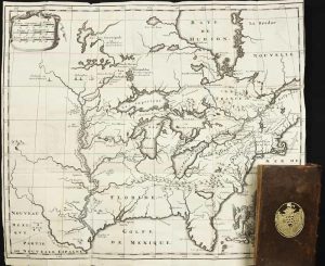
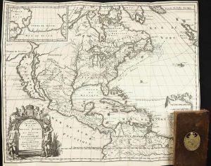
CONTAINING THE FIRST ILLUSTRATION OF NIAGARA FALLS. Duodecimo, full contemporary calf, gilt boards bearing arms, raised bands to spine with gilt red calf title label. With 2 engraved folding maps and 2 engraved folding plates in excellent condition. With engraved frontispiece; (70), 313, (8 num 313*), pp. 315-506.
Stock number: 1731
$ 9,500