


Mr. Philip D. Burden
P.O. Box 863,
Chalfont St. Giles, Bucks HP6 9HD,
UNITED KINGDOM
Tel: +44 (0) 1494 76 33 13
Email: enquiries@caburden.com
630 rare maps matched your search criteria.
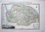
Amsterdam, 1645
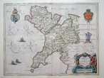
380 x 500 mm. Early outline wash colour. Slight split to upper centrefold. Some paper thinning. Some ink stains to text on reverse.
Stock number: 2654
£ 250
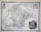
Amsterdam, 1645
380 x 495 mm., early outline and wash colour, in good condition.
Stock number: 2597
£ 525
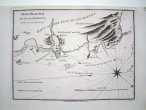
London, 1843
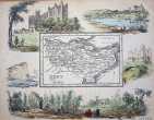
150 x 185 mm. In early wash colour. Complete with accompanying text.
Stock number: 2580
£ 100
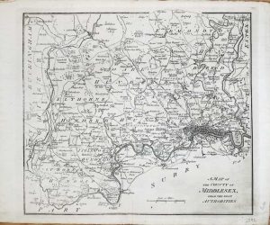
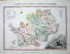
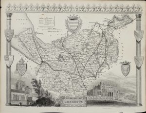
London, 1840
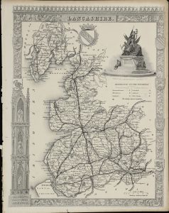
265 x 200 cm. Uncoloured. Top margin tight, stitch marks to left margin, with margin in tact. Repair to 1" tear lower left hand and bottom margin.
Stock number: 2584
£ 40
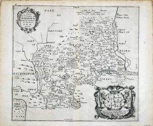
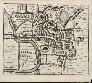
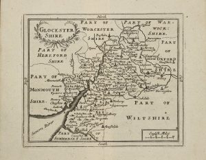
London, 1681-[1715]
140 x 210 mm. With early wash colour. Slight discolouration to centrefold, and repair to lower centrefold.
Stock number: 2588
£ 165
London, 1788
290 x 325 mm. Uncoloured. Slightly faint down left hand side of map.
Stock number: 2592
£ 85
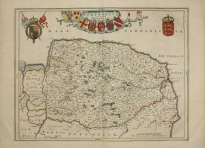
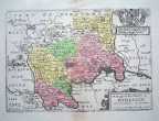
Amsterdam, 1646
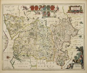
440 x 550 mm., early outline colour.
Stock number: 2564
£ 625

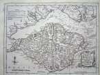
London, 1761
160 x 190 mm., uncoloured, with two folds as issued in the book, in good condition.
Stock number: 2549
£ 95
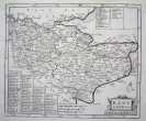
Amsterdam, 1708
385 x 950 mm., two sheets joined as one as issued, in full wash colour and good condition.
Stock number: 10437
£ 195