Mr. Philip D. Burden
P.O. Box 863,
Chalfont St. Giles, Bucks HP6 9HD,
UNITED KINGDOM
Tel: +44 (0) 1494 76 33 13
Email: enquiries@caburden.com
37 rare maps matched your search criteria.
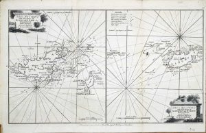
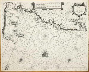
Leiden, 1585-[89]
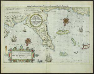
355 x 520 mm., with recent wash colour, faint mount shadow in the margins, otherwise a good example of a desirable chart.
Stock number: 7506
£ 1,950
London, October 1758
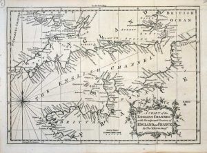
185 x 260 mm., with folds as issued, in good condition.
Stock number: 7612
£ 60
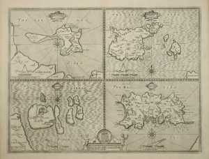
Amsterdam, 1630
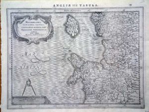
195 x 255 mm., in good condition.
Stock number: 6233
£ 150
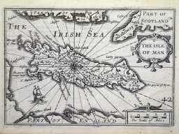
Amsterdam, 1645-[46]
380 x 240 mm., early outline colour, good condition.
Stock number: 6074
£ 340
London, c.1766
235 x 395 mm., with folds as issued, otherwise in good condition.
Stock number: 5743
£ 125
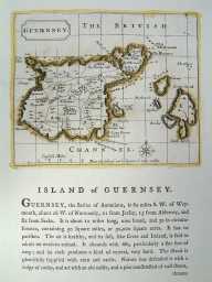
London, 1865
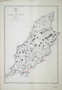
310 x 450 mm., with light early outline colour, light crease to the map otherwise in good condition.
Stock number: 5259
£ 75
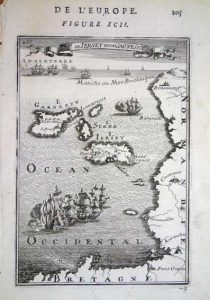
Paris, 1764
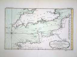
220 x 350 mm., early wash colour in fine condition.
Stock number: 4095
£ 125
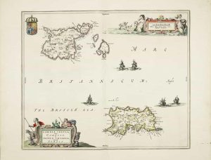
Amsterdam, c.1650
430 x 530 mm., centre fold split, professionally repaired, dark impression, with decent margins all the way around, in good condition.
Stock number: 3967
£ 1,150
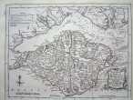
London, 1612-[76]
380 x 510 mm., uncoloured example in fine condition.
Stock number: 3616
£ 450
London, 1814
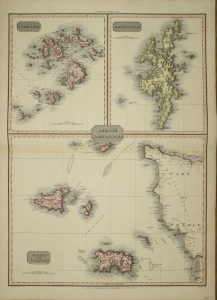
710 x 510 mm., early wash colour.
Stock number: 3489
£ 150
Amsterdam, 1645
390 x 480 mm. In early outline wash colour. Map has been cleaned, and has some minor creasing at centrefold.
Stock number: 3232
£ 450
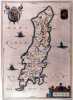
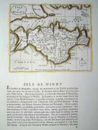
London, 1787
120 x 145 mm, In original outline colour. Excellent condition.
Stock number: 3215
£ 75
London, 1787
120 x 145 mm, In original outline colour. Excellent condition.
Stock number: 3219
£ 35