Clive A. Burden LTD. Rare Maps, Antique Atlases, Books and Decorative Prints

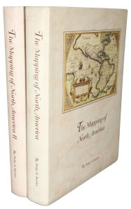
The Mapping of North America

Mr. Philip D. Burden​
P.O. Box 863,
Chalfont St. Giles, Bucks HP6 9HD,
UNITED KINGDOM
Tel: +44 (0) 1494 76 33 13
Email: [email protected]

The map displays the Indian Ocean centred on the Indian peninsula showing both the Maldives and Ceylon. To the east is Burma, Thailand and parts of Indonesia. The map contains a large amount of topographical details with numerous place names, rivers, lakes and mountains. The map was published in Rober de Vaugondy’s ‘Atlas Universel’. Gole, S. (India) 66 2.1; Pedley (1992) 400.
ROBERT DE VAUGONDY, Didier

Les Indes Orientales, ou sont Distingues les Empires et Royaumes qu'elles Contiennent ...

Paris, 1751
490 x 750 mm., early outline colour, with two small areas of repair in the extreme lower right margin not affecting the image, otherwise fine.
Stock number: 6293

SOLD

Send us your name and email address.
We'll add you to our subscriber list and alert you to new catalogues and similar news