Mr. Philip D. Burden
P.O. Box 863,
Chalfont St. Giles, Bucks HP6 9HD,
UNITED KINGDOM
Tel: +44 (0) 1494 76 33 13
Email: enquiries@caburden.com
British County Atlases
167 map-related books matched your search criteria.
CARY, John
Printed for John Cary, Engraver, Map & Printseller, Strand, London, 1 Jan. 1791-[92]
Octavo (180 x 115 mm.), recent half red calf by Bayntun, red cloth boards, spine with two raised bands and gilt embossed titles, later endpapers. With engraved title page, Advertisement and Contents and 43 engraved maps printed back-to-back, all in early outline colour, that of Yorkshire folding, 6 page Index bound at the front, in good condition.
Stock number: 10202
£ 195
CARY, John
John Cary, Engraver, and Map-seller, Strand, London, 1806
FIRST EDITION OF THE SECOND SERIES. Octavo (165 x 105 mm.), modern half calf, marbled paper boards, blind ruled, spine with gilt ruling and red calf gilt title label, later endpapers. With engraved title page, Advertisement, Contents, general map and 40 maps of the counties, that of Yorkshire folding with binder's tear repaired, North and South Wales, in all 43 maps, all in early outline colour and bound facing each other, index of 'Market and Borough Towns' in pp. 5, 'Routes; Exhibiting the Direct Road' in pp. 11. advert of 'Works published by John Cary' in pp. 2, in good condition.
Stock number: 10204
£ 195
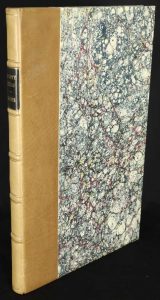
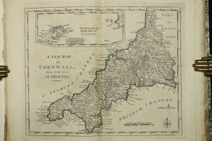
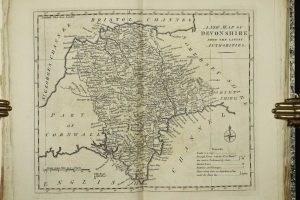
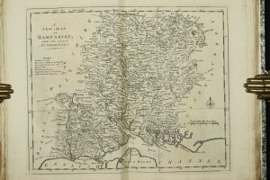
CARY, John
Printed for G. & J Cary. Engravers, No. 86 St. James's Street, London, 1826
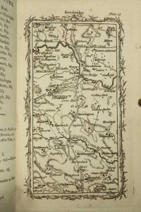
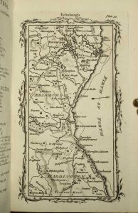
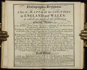
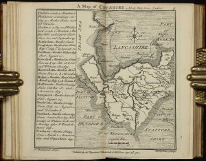
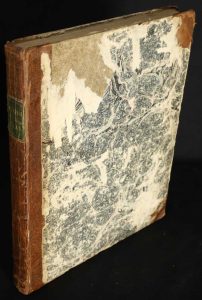
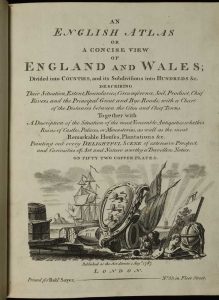
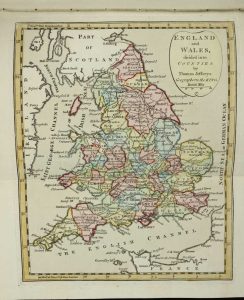
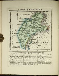
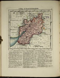
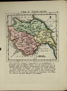
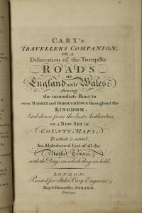
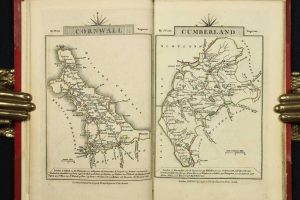
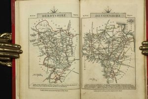
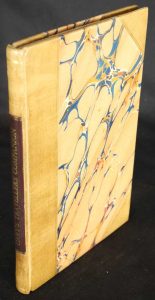
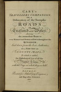
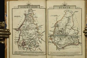
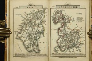
Octavo (185 x 115 mm.), modern half calf, marbled paper boards, ornate blind ruling, spine with blind ruled compartments, red calf gilt title label. With folding general map, engraved title to New Itinerary dated 1826, dedication, pp. (8), 41, (1), (62), (66), engraved title to Traveller's Companion dated 1826, contents leaf, advertisement, general map of England and Wales, 40 county maps, that of Yorkshire folding (bound at the back), North and South Wales, in all 43 maps all in early outline colour, 6 folding maps from the New Itinerary in early outline colour, pp. (298), [597]-1070, (1), margin to Leicestershire reinforced, otherwise in good condition.
Stock number: 10205
£ 225
BUTTERS, Robert
London, 1782-90
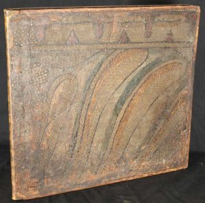
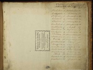
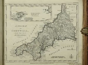
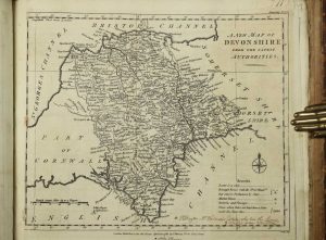
ONE OF ONLY THREE KNOWN BOUND COLLECTIONS OF FIRST STATE MAPS. Oblong folio (335 x 360 mm.), full contemporary calf, with very unusual ornate early decoration affixed and now worn, later endpapers, uncut. With 40 engraved maps of the English counties, traces of old folds, with manuscript index to the front free original endpaper, some trimmed with loss of imprint, frail edges to many, ink notations to the margins of some maps, those of Dorset, Essex Hertfordshire bound upside down, otherwise in good condition.
Stock number: 10210
£ 2,500
LODGE, John
London, c.1795
Quarto (325 x 215 mm.), modern quarter calf by Temple Bindery, marbled paper boards, gilt ruled, spine with raised bands, gilt ruled compartments, black calf gilt title label, uncut. With original publisher's typographic 'title' and index loosely inserted, 40 engraved maps of the English counties, old liquid stain to first and final few maps lower corner, otherwise in good condition.
Stock number: 10211
£ 1,750
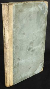
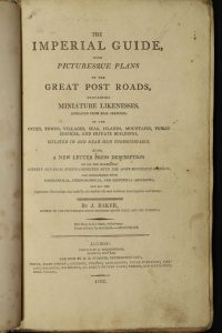
BAKER, James
Printed by C. Whittingham, Dean Street, Fetter Lane and Sold by H D. Symonds, Paternoster-Row, London, 1802
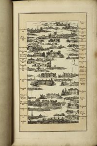
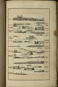
Octavo (225 x 140 mm.), old half vellum, contemporary paper boards, later endpapers, uncut. With typographic frontispiece, pp. iv, 66, with 14 aquatint plates of the roads with early wash coloured borders and 5 further aquatints, in good condition.
Stock number: 10218
£ 850
LE ROUGE, George Louis - DESNOS, Louis Charles
Chez le Sieur Desnos, Paris, 1767
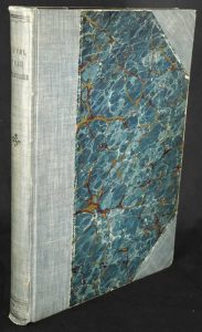
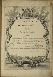
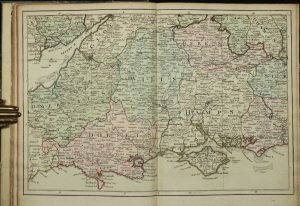
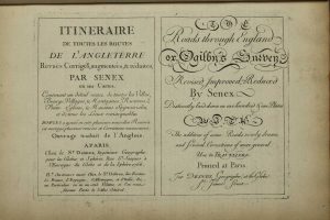
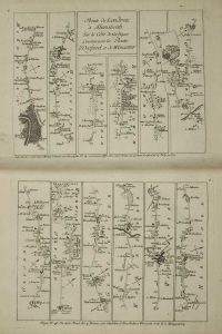
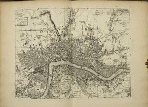
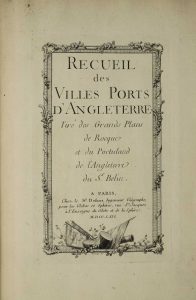
Quarto (295 x 205 mm.), half modern green cloth, marbled paper boards, titles embossed on spine, later endpapers. With attractive engraved title page, general key map of England and Wales, 12 double page engraved maps to the key, all with full early wash colour, engraved title in French and English from Itineraraire de Toutes les Routes, introduction (2), Table des Villes (4), Table des Routes (2), engraved general map of England and Wales and 101 engraved road strips here with blank versos. Followed by Recueil des Villes Ports D'Angleterre dated 1766, double page engraved table to the plan of London, double page engraved plan of London, engraved map of the Bouche de la Tamise and 16 engraved single page plans and views of British and Irish towns. Complete with contemporary endpapers. Top right corner of title page repaired, not affecting plate area.
Stock number: 10170
£ 1,850
JEFFERYS, Thomas
R. Sayer and J. Bennett, Map and Print Sellers, No. 53 Fleet-Street, London, 1775
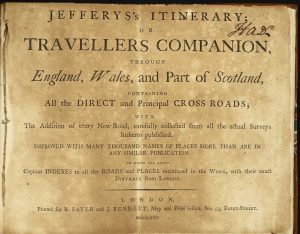
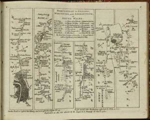
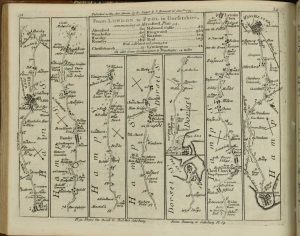
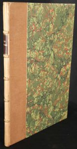
Oblong quarto (180 x 235 mm.), recent half calf, marbled boards, with marbled endpapers. With typographic title page, Preface, 16 page index to places named and 104 numbered road strips printed back to back. Title and final leaf browned, title with slight tear near binder's tie, otherwise in good condition.
Stock number: 10171
£ 1,250
BOWEN, Emanuel & KITCHIN, Thomas
London, 1767-68
VERY RARE FIRST EDITION, FIRST ISSUE. Folio (370 x 240 mm.), modern quarter calf by Temple Bindery, marbled paper boards, gilt ruled, gilt ruled ribbed spine with red calf gilt title label. With engraved title page frayed and laid down, pp. 4 'Subscribers Names' and 45 copper engraved maps in early outline colour, with two further maps of new Jersey and France inserted at the end.
Stock number: 10180
£ 7,500
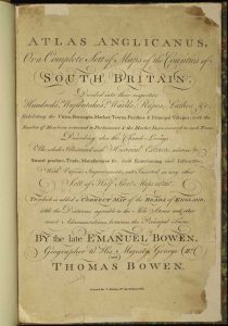
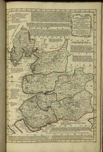
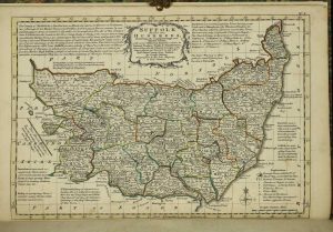
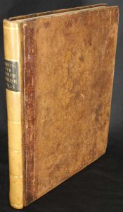
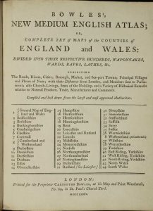
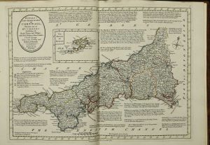
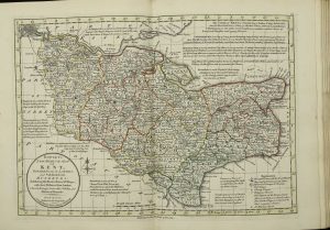
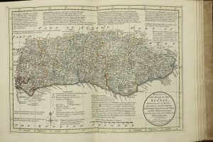
BOWEN, Thomas & Emanuel
Carington Bowles at his Map and Print Warehouse, No. 69, in St. Paul's Church Yard, London, 1785
Quarto (260 x 210 mm.), full contemporary quarter mottled calf, gilt ruled, rebacked with gilt ruled compartments, original calf gilt title label preserved. With typographic title and 44 copper engraved maps in early outline colour and yellow wash border, the general map in early wash colour, lower right corner of final map with some minor dirt, otherwise in good condition.
Stock number: 10182
£ 3,750
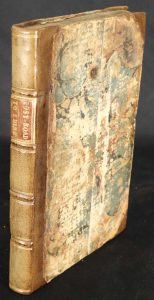
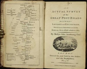
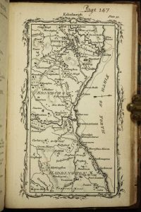
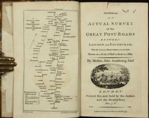
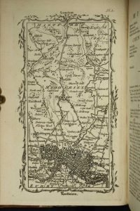
ARMSTRONG, Mostyn John
Printed for, and Sold by the Author, and the Booksellers, London, 1 August 1776
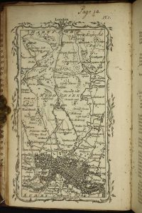
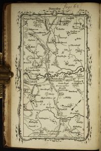
Octavo (185 x 115 mm.), contemporary half calf, marbled paper boards, spine with raised bands, gilt ruled, with gilt red calf title, corners repaired, light wear. With general plan, engraved title, pp. 7, (1), 44 and 44 maps, with contemporary manuscript pagination, front free endpaper working loose, otherwise in good condition.
Stock number: 10188
£ 350
ARMSTRONG, Mostyn John
Printed for, and Sold by the Author, and the Booksellers, London, 1 January 1777-[83]
Octavo (195 x 125 mm.), contemporary half calf, marbled paper boards, rebacked with raised bands, with gilt red calf title. With general plan, engraved title with contemporary ownership inscription cut upper right, pp. 7, (1), 44 and 44 maps, with contemporary manuscript pagination, front free endpaper working loose, otherwise in good condition.
Stock number: 10189
£ 350
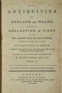
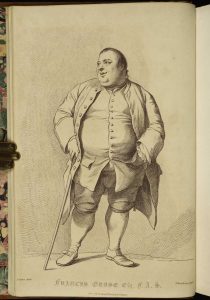
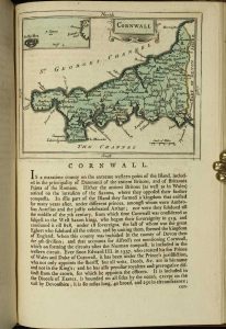
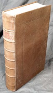
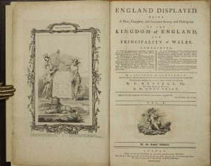
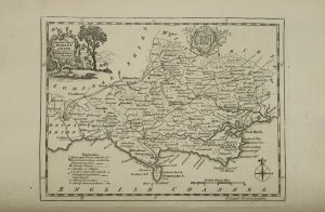
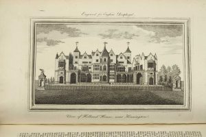
GROSE, Francis
Printed for S. Hooper, No: 212, High-Holborn, facing Southampton Street, Bloomsbury-Square, London, c.1788
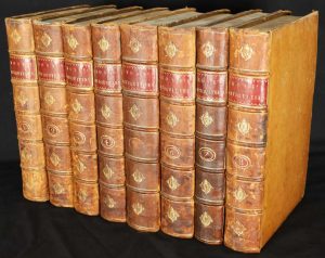
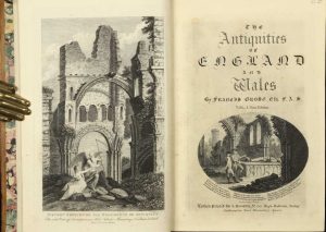
Large octavo (260 x 175 mm.), 8 volumes in full contemporary calf with gilt borders, each with gilt ruled ribbed spines and ornate central gilt feature to each compartment, gilt red calf titles, gilt volume numbers, with marbled endpapers. Each volume bears an engraved frontispiece and title page. pp. (4), iv, (4), iii-iv, 160, 60; (2), (61)-246; (2), 168; (2), 188; (2), 195; (2), 214; (2), 74; 4, 172. With 56 maps, as per contents including 1 large folding general map and 55 maps of the counties and islands dispersed in the text, all in early wash colour, with numerous engravings throughout, some light foxing, otherwise in very good condition.
Stock number: 10195
£ 950
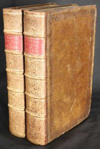
MARTIN, Benjamin
William Owen, Temple Bar, and by the Author, at his House in Fleet-Street, London, 1759-63
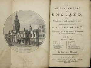
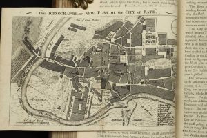
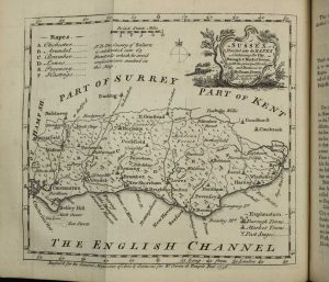
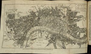
Quarto, two volumes (210 x 130 mm. each), full contemporary calf, ornate blind panels with gilt border, rebacked with raised bands, double gilt ruled compartments, red calf gilt title labels and gilt volume numbers, light wear. Volume I pp. (iv), 410, (8) with 14 county maps, 2 town plans of Bath and Hastings, 1 folding map of the environs of London (not called for); volume II pp. (2), 392, (10) and 27 further maps. Extra illustrated, light water stain to frontispiece first volume, otherwise in good condition.
Stock number: 10168
£ 1,950
RUSSELL, P. & PRICE, Owen
London, 1769-70
Folio, two volumes in one (360 x 230 mm.), full recent calf, ornate blind panelled boards, spine with raised bands, blind ruled compartments, preserving original red calf gilt title label. With engraved frontispiece, typographic title page, pp. viii, 392 with 25 (of 26, omitting Cambridgeshire) maps; volume 2 with typographic title page, pp. 314, (4) with 28 maps, with 81 copper plate views throughout, some pencil notations in margins, a couple of text leaves with foxing towards the end, otherwise in good condition.
Stock number: 10169
£ 1,250
MOLL, Herman
H. Moll, T. Bowles, C. Rivington & J. Bowles, London, 1724-[c.32]
Folio (350 x 225 mm.), full contemporary calf, boards with ornate blind panelling, rebacked with ribbed spine and gilt ruled compartments, with red calf gilt title label. Typographic title printed in red and black, with 50 engraved maps, the two general maps folding on evenly toned paper, a few engraved illustrations, pp. (2), xi, (1), 344, x. Kent with light wear at the outer margin, last few leaves with old water stain in the lower gutter, otherwise in good condition.
Stock number: 10147
£ 3,500
BADESLADE, Thomas & TOMS, William Henry
London, 1742
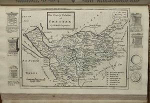
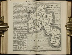
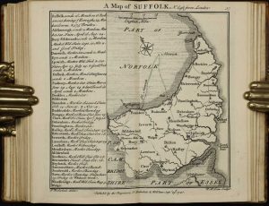
FIRST EDITION, FIRST ISSUE. Octavo (165 x 100 mm.), full contemporary mottled calf, gilt ruled boards, rebacked with gilt ruled raised bands, calf gilt title label, original endpapers. With engraved title, Dedication, 5 tables, 6 general and 40 county maps, engraved throughout. In good condition.
Stock number: 10149
£ 1,250
ROCQUE, John
John Rocque, Chorographer to his Royal Highness the Prince of Wales, near Old Round Court in the Strand, and Robert Sayer, Map and Printseller, at the Golden Buck, opposite Fetter-Lane, Fleet-Street, London, 1753
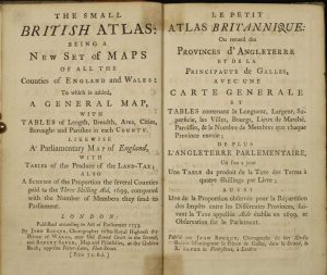
Small quarto (190 x 115 mm.), recent quarter calf, contemporary boards, blind ruled ribbed spine, with recent clam case box. With typographic title page in English and French and 54 maps, comprising 1 folding 'Parliamentary Map of England and Wales', a further general map of the counties, 42 maps of the counties and ridings of England, 7 Wales and 3 maps of the Islands, in good condition.
Stock number: 10155
£ 2,950
KITCHIN, Thomas - JEFFERYS, Thomas
Messrs. Kitchin & Jefferys, London, 1751
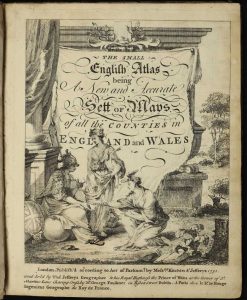
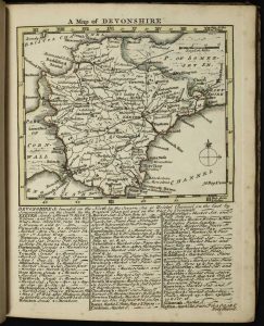
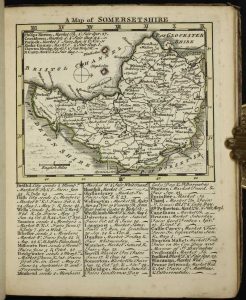
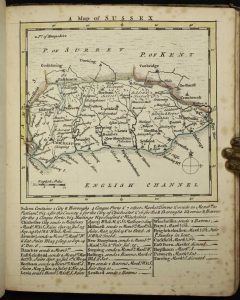
Small quarto (195 x 160 mm.), side bound early quarter calf, contemporary paper boards, spine with blind ruled raised bands, light wear. Engraved throughout, pictorial title, one leaf containing preface and index, 50 engraved maps, in early outline colour with yellow wash borders, some light foxing, otherwise a good example.
Stock number: 10163
£ 4,500
KITCHIN, Thomas - JEFFERYS, Thomas
Robert Sayer No. 53, in Fleet Street, London, 1787-[c.94]
RARE EDITION. Small quarto (235 x 185 mm.), contemporary half calf, marbled paper boards, with gilt ruled bands, green calf gilt title label, light wear. With engraved pictorial title and Index, Preface and 49 engraved maps including a newly introduced folding map of England and Wales by Thomas Jefferys, all in fine early wash colour, each accompanied by a leaf of descriptive text, and a larger folding distance chart, internally in very good condition.
Stock number: 10164
£ 4,500


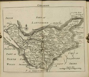
![Cary's Traveller's Companion, or, a Delineation of the Turnpike Roads of England and Wales; shewing the immediate Route to every Market and Borough Town throughout the Kingdom, Laid down from the best Authorities, On A New Set Of County Maps. To which is added An Alphabetical List of all the Market Towns, with the Days on which they are held [bound with] Cary's New Itinerary or an Accurate Delineation of the Great Roads](https://www.caburdenraremaps.com/wp-content/uploads/2022/01/10205a-186x300.jpg)
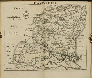
![Cary's Traveller's Companion, or, a Delineation of the Turnpike Roads of England and Wales; shewing the immediate Route to every Market and Borough Town throughout the Kingdom, Laid down from the best Authorities, On A New Set Of County Maps. To which is added An Alphabetical List of all the Market Towns, with the Days on which they are held [bound with] Cary's New Itinerary or an Accurate Delineation of the Great Roads](https://www.caburdenraremaps.com/wp-content/uploads/2022/01/10205b-200x300.jpg)
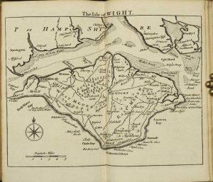
![Cary's Traveller's Companion, or, a Delineation of the Turnpike Roads of England and Wales; shewing the immediate Route to every Market and Borough Town throughout the Kingdom, Laid down from the best Authorities, On A New Set Of County Maps. To which is added An Alphabetical List of all the Market Towns, with the Days on which they are held [bound with] Cary's New Itinerary or an Accurate Delineation of the Great Roads](https://www.caburdenraremaps.com/wp-content/uploads/2022/01/10205c-300x200.jpg)
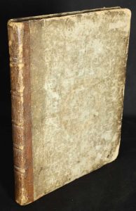
![Cary's Traveller's Companion, or, a Delineation of the Turnpike Roads of England and Wales; shewing the immediate Route to every Market and Borough Town throughout the Kingdom, Laid down from the best Authorities, On A New Set Of County Maps. To which is added An Alphabetical List of all the Market Towns, with the Days on which they are held [bound with] Cary's New Itinerary or an Accurate Delineation of the Great Roads](https://www.caburdenraremaps.com/wp-content/uploads/2022/01/10205d-300x227.jpg)
